MapPlanner
13.743mi
Distance
2h36s
Duration
8:47/mi
Pace
Moderate
Level

Oihid 3

Route details

6.84mph
Speed
1379 kcal
Calories burned
Loop trail
Route type
446ft
Min altitude
522ft
Max altitude

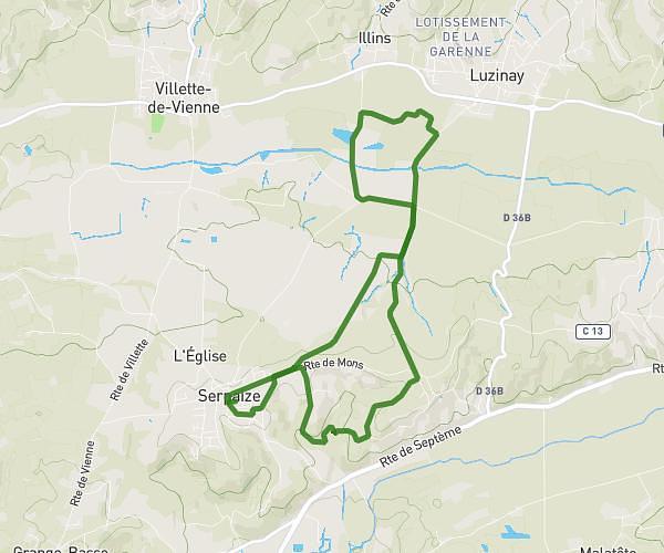
This running route covers 13.743mi starting from Le Péage-de-Roussillon, Isère. The run is a loop trail and returns to the trailhead. This run is rated as moderate, expect about 2h36s to complete it. The route has an elevation gain of 249ft and an elevation loss of 249ft.

Description of the route by the creator

Bicycle path, RD and dirt road

(Description automatically translated)

Route profile

249ft
Elevation gain
249ft
Elevation loss
446ft
Min altitude
522ft
Max altitude

How to get there

Trailhead: Rue De La Croix Morand, 38550 Le Péage-de-Roussillon

GPS coordinates of the trailhead: 45.36917, 4.79234 / 45°22'9'' N, 4°47'32'' E

Caution: May Cross Private Property

This route may pass through or near private property. Always respect posted signs, obtain permission where required, and follow local trespassing laws. MapPlanner does not guarantee public access along any route.

Safety Notice

Trail and road conditions may change without notice due to weather, construction, or other factors. Always verify current conditions before heading out. You are responsible for your own safety — follow local signage, obey traffic laws, and use your best judgment on the trail.