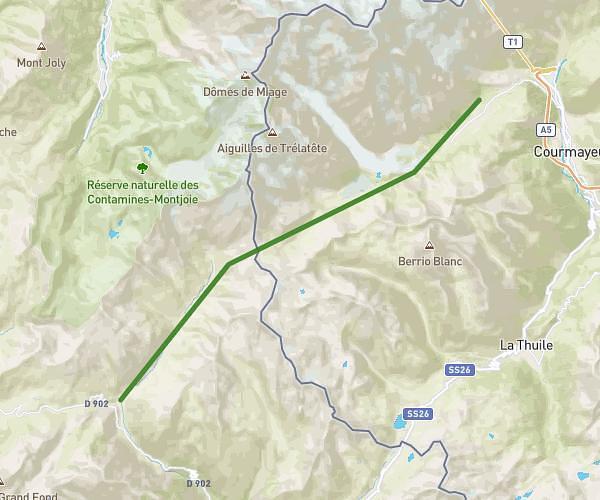
This hiking trail covers 3.966mi starting from Passy, Haute-Savoie. The hike is a loop trail and returns to the trailhead. This hike is rated as hard, plan for about 3h to complete it. The route has an elevation gain of 1132ft and an elevation loss of 1132ft.
Lav Vert
Route details
1.32mph
Speed
1374 kcal
Calories burned
10.8%
Avg grade
Loop trail
Route type
4196ft
Min altitude
5299ft
Max altitude
Steep climb
Route profile
1132ft
Elevation gain
1132ft
Elevation loss
4196ft
Min altitude
5299ft
Max altitude
How to get there
Trailhead: 300 Chemin Des Parchets, 74190 Passy, France
GPS coordinates of the trailhead: 45.95141, 6.74016 / 45°57'5'' N, 6°44'24'' E