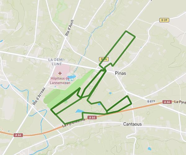
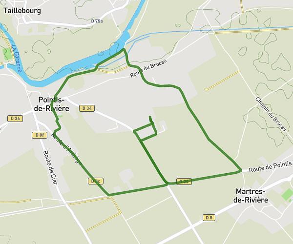
This running route covers 3.58mi starting from Landorthe, Haute-Garonne. The run is a loop trail and returns to the trailhead. This run is rated as easy, expect about 35m to complete it. The route has an elevation gain of 115ft and an elevation loss of 105ft.
Landorthe
Route details
6.14mph
Speed
400 kcal
Calories burned
Loop trail
Route type
1145ft
Min altitude
1260ft
Max altitude
Route profile
115ft
Elevation gain
105ft
Elevation loss
1145ft
Min altitude
1260ft
Max altitude
How to get there
Trailhead: 20b Chemin Des Landes, 31800 Landorthe, France
GPS coordinates of the trailhead: 43.12172, 0.78265 / 43°7'18'' N, 0°46'57'' E