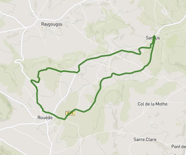
This running route covers 3.725mi starting from Rouède, Haute-Garonne. The run is a loop trail and returns to the trailhead. This run is rated as easy, expect about 31m30s to complete it. The route has an elevation gain of 305ft and an elevation loss of 305ft.
MAISON-USE TERRAIN
Route details
7.1mph
Speed
360 kcal
Calories burned
Loop trail
Route type
1296ft
Min altitude
1414ft
Max altitude
Route profile
305ft
Elevation gain
305ft
Elevation loss
1296ft
Min altitude
1414ft
Max altitude
How to get there
Trailhead: 390 Route De La Rouquet, 31160 Rouède, France
GPS coordinates of the trailhead: 43.05975, 0.87956 / 43°3'35'' N, 0°52'46'' E