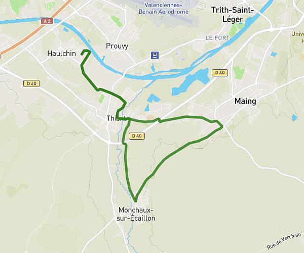
This running route covers 6.582mi starting from Fontaine-Notre-Dame, Nord. The run does not return to the trailhead and ends near 6 Rue Du Canton De Chemille, 59400 Fontaine-Notre-Dame, France. This run is rated as moderate, expect about 2h40m to complete it. The route has an elevation gain of 499ft and an elevation loss of 492ft.
fontaine notre dame
Route details
2.47mph
Speed
1829 kcal
Calories burned
Point to point
Route type
167ft
Min altitude
276ft
Max altitude
Route profile
499ft
Elevation gain
492ft
Elevation loss
167ft
Min altitude
276ft
Max altitude
How to get there
Trailhead: 881 Route Nationale, 59400 Fontaine-Notre-Dame, France
GPS coordinates of the trailhead: 50.168021, 3.165992 / 50°10'4'' N, 3°9'57'' E