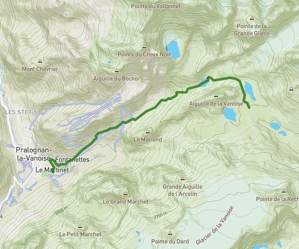
This hiking trail covers 9.172mi starting from Aime-la-Plagne, Savoie. The hike is a loop trail and returns to the trailhead. This hike is rated as strenuous, plan for about 5h56m to complete it. The route has an elevation gain of 4738ft and an elevation loss of 4738ft.
Bivouac
Route details
1.55mph
Speed
2898 kcal
Calories burned
19.6%
Avg grade
Loop trail
Route type
6368ft
Min altitude
8435ft
Max altitude
High altitude
Steep climb
Route profile
4738ft
Elevation gain
4738ft
Elevation loss
6368ft
Min altitude
8435ft
Max altitude
How to get there
Trailhead: 73210, Aime-la-Plagne, Savoie, France
GPS coordinates of the trailhead: 45.616805, 6.618776 / 45°37'0'' N, 6°37'7'' E