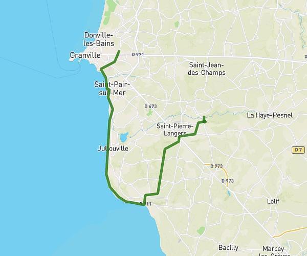
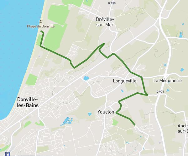
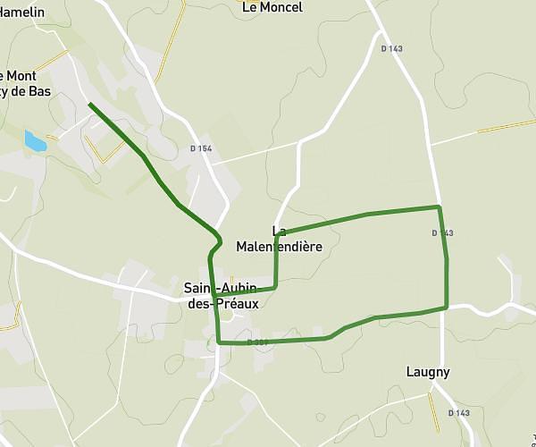
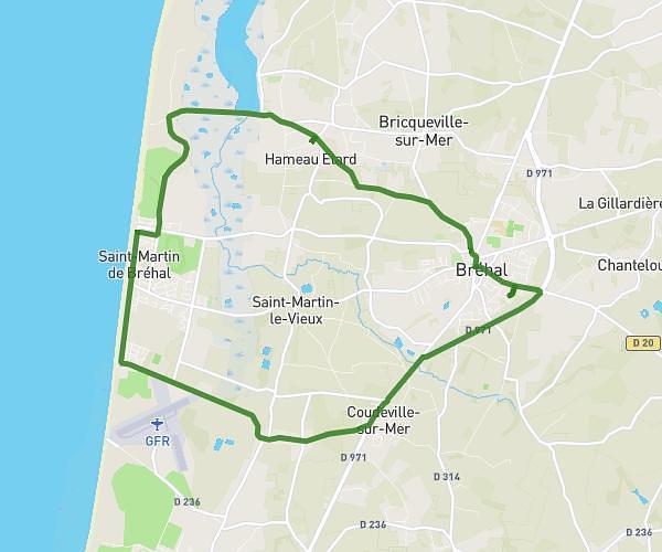
This hiking trail covers 9.372mi starting from Bréhal, Manche. The hike is a loop trail and returns to the trailhead. This hike is rated as moderate, plan for about 3h21m to complete it. The route has an elevation gain of 420ft and an elevation loss of 420ft.
Marche nordique 1
Route details
2.8mph
Speed
1427 kcal
Calories burned
1.7%
Avg grade
Loop trail
Route type
10ft
Min altitude
203ft
Max altitude
Route profile
420ft
Elevation gain
420ft
Elevation loss
10ft
Min altitude
203ft
Max altitude
How to get there
Trailhead: 37 Rue Louis Beuve, 50290 Bréhal, France
GPS coordinates of the trailhead: 48.89628, -1.50531 / 48°53'46'' N, 1°30'19'' W