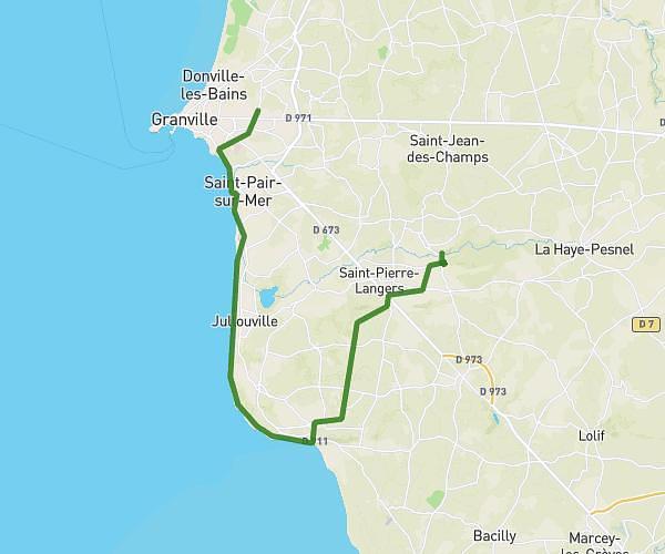
This hiking trail covers 4.001mi starting from Saint-Aubin-des-Préaux, Manche. The hike does not return to the trailhead and ends near 728 Route De La Blotière, 50380 Saint-Planchers, France. This hike is rated as easy, plan for about 1h11m to complete it. The route has an elevation gain of 144ft and an elevation loss of 200ft.
Les 4 tournées
Route details
3.38mph
Speed
503 kcal
Calories burned
1.6%
Avg grade
Point to point
Route type
187ft
Min altitude
299ft
Max altitude
Route profile
144ft
Elevation gain
200ft
Elevation loss
187ft
Min altitude
299ft
Max altitude
How to get there
Trailhead: 129 Route De La Sabotière, 50380 Saint-Aubin-des-Préaux, France
GPS coordinates of the trailhead: 48.80805, -1.50837 / 48°48'28'' N, 1°30'30'' W