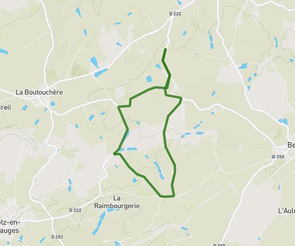
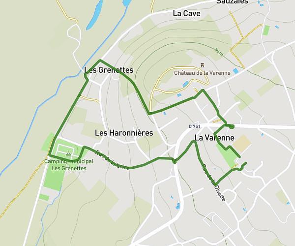
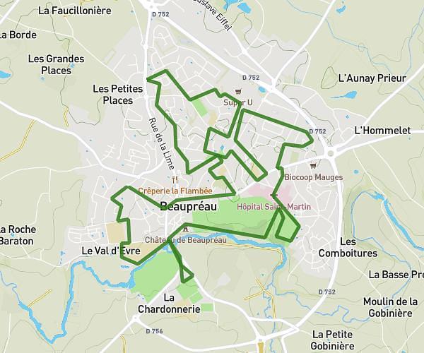
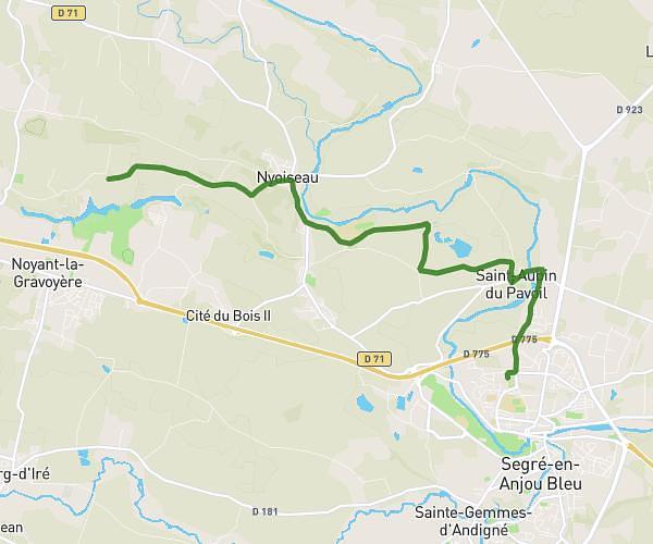
This hiking trail covers 17.503mi starting from Loireauxence, Loire-Atlantique. The hike does not return to the trailhead and ends near 9 Place De L'église, 49420 Ombrée d'Anjou, France. This hike is rated as moderate, plan for about 7h16m to complete it. The route has an elevation gain of 387ft and an elevation loss of 453ft.
Belligné /Armaillé
Route details
2.41mph
Speed
3073 kcal
Calories burned
0.9%
Avg grade
Point to point
Route type
69ft
Min altitude
331ft
Max altitude
Route profile
387ft
Elevation gain
453ft
Elevation loss
69ft
Min altitude
331ft
Max altitude
How to get there
Trailhead: 110 Rue De La Loire, 44370 Loireauxence, France
GPS coordinates of the trailhead: 47.46682, -1.02765 / 47°28'0'' N, 1°1'39'' W