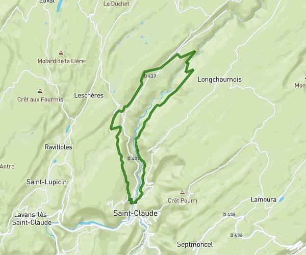
This hiking trail covers 5.117mi starting from Apremont, Ain. The hike is a loop trail and returns to the trailhead. This hike is rated as hard, plan for about 25m to complete it. The route has an elevation gain of 978ft and an elevation loss of 974ft.
Petite trotte 2025
Route details
12.28mph
Speed
186 kcal
Calories burned
7.2%
Avg grade
Loop trail
Route type
2917ft
Min altitude
3353ft
Max altitude
Route profile
978ft
Elevation gain
974ft
Elevation loss
2917ft
Min altitude
3353ft
Max altitude
How to get there
Trailhead: Chemin Des Condamines, 01100 Apremont
GPS coordinates of the trailhead: 46.20794, 5.66513 / 46°12'28'' N, 5°39'54'' E