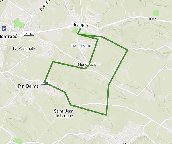
This running route covers 15.014mi starting from Toulouse, Haute-Garonne. The run is a loop trail and returns to the trailhead. This run is rated as strenuous, expect about 2h5m to complete it. The route has an elevation gain of 16ft and an elevation loss of 26ft.
Sortie longue
Route details
7.21mph
Speed
1429 kcal
Calories burned
Loop trail
Route type
472ft
Min altitude
489ft
Max altitude
Route profile
16ft
Elevation gain
26ft
Elevation loss
472ft
Min altitude
489ft
Max altitude
How to get there
Trailhead: 10 Rue Paul Campadieu, 31200 Toulouse, France
GPS coordinates of the trailhead: 43.621605, 1.439435 / 43°37'17'' N, 1°26'21'' E