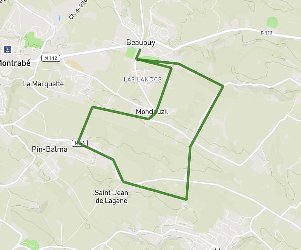
This running route covers 4.305mi starting from Toulouse, Haute-Garonne. The run does not return to the trailhead and ends near 3 Chemin Du Halage, 31520 Ramonville-Saint-Agne, France. This run is rated as easy, expect about 46m11s to complete it. The route has an elevation gain of 236ft and an elevation loss of 217ft.
Toulouse
Route details
5.59mph
Speed
528 kcal
Calories burned
Point to point
Route type
476ft
Min altitude
525ft
Max altitude
Route profile
236ft
Elevation gain
217ft
Elevation loss
476ft
Min altitude
525ft
Max altitude
How to get there
Trailhead: 33 Rue Jean-Baptiste Colbert, 31400 Toulouse, France
GPS coordinates of the trailhead: 43.583897, 1.451957 / 43°35'2'' N, 1°27'7'' E