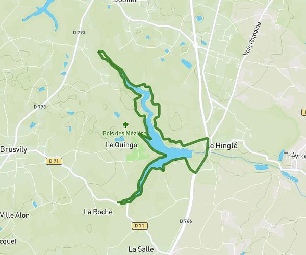
This walking route covers 1.614mi starting from Dinard, Ille-et-Vilaine. The walk does not return to the trailhead and ends near 2 Avenue Du Château Hébert, 35800 Dinard, France. This walk is rated as easy, plan for about 38m58s to complete it. The route has an elevation gain of 367ft and an elevation loss of 374ft.
chemin de ronde dinard saint enogat la goule aux fées
Route details
24:08/mi
Pace
159 kcal
Calories burned
Point to point
Route type
10ft
Min altitude
79ft
Max altitude
Route profile
367ft
Elevation gain
374ft
Elevation loss
10ft
Min altitude
79ft
Max altitude
How to get there
Trailhead: 2 Boulevard Albert 1er, 35800 Dinard, France
GPS coordinates of the trailhead: 48.635829, -2.055348 / 48°38'8'' N, 2°3'19'' W