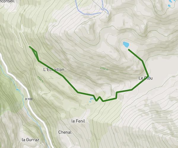
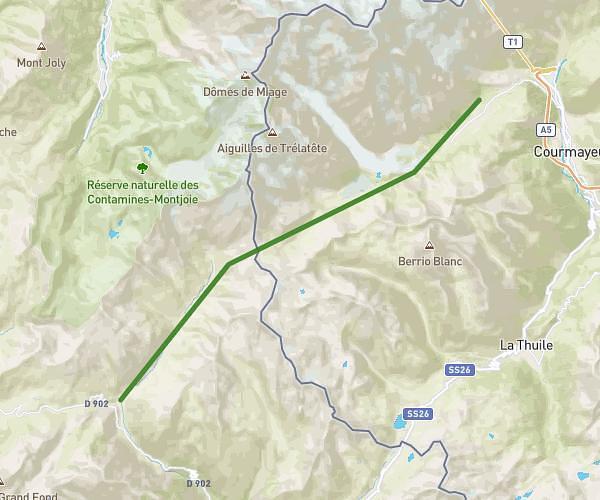
This hiking trail covers 6.588mi starting from Les Contamines-Montjoie, Haute-Savoie. The hike does not return to the trailhead and ends near Villages et Station Arcs, Bourg-Saint-Maurice, Savoie, France. This hike is rated as strenuous, plan for about 5h18m to complete it. The route has an elevation gain of 3530ft and an elevation loss of 1886ft.
TMB - J2
Route details
1.24mph
Speed
2603 kcal
Calories burned
15.6%
Avg grade
Point to point
Route type
4695ft
Min altitude
8127ft
Max altitude
Steep climb
Route profile
3530ft
Elevation gain
1886ft
Elevation loss
4695ft
Min altitude
8127ft
Max altitude
How to get there
Trailhead: 74170, Les Contamines-Montjoie, Haute-Savoie, France
GPS coordinates of the trailhead: 45.79171, 6.73496 / 45°47'30'' N, 6°44'5'' E