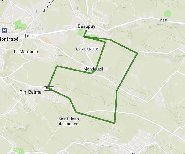
This running route covers 3.452mi starting from Toulouse, Haute-Garonne. The run is a loop trail and returns to the trailhead. This run is rated as easy, expect about 44m to complete it. The route has an elevation gain of 213ft and an elevation loss of 217ft.
Boucle Garonne
Route details
4.71mph
Speed
503 kcal
Calories burned
Loop trail
Route type
433ft
Min altitude
482ft
Max altitude
Route profile
213ft
Elevation gain
217ft
Elevation loss
433ft
Min altitude
482ft
Max altitude
How to get there
Trailhead: Chemin Tricou, 31200 Toulouse
GPS coordinates of the trailhead: 43.61742, 1.42632 / 43°37'2'' N, 1°25'34'' E