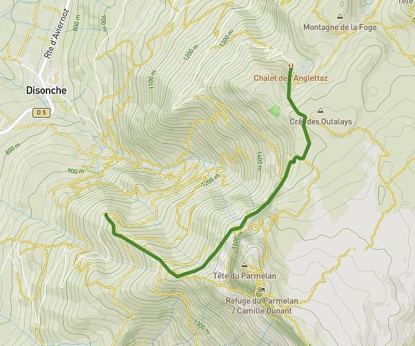
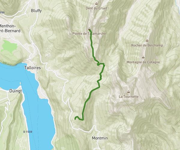
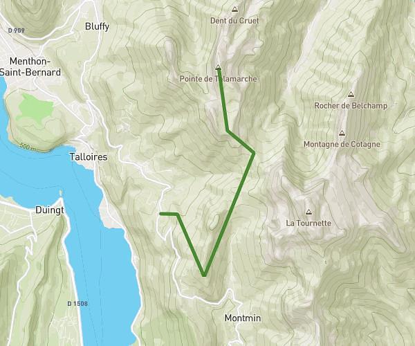
This hiking trail covers 8.18mi starting from La Giettaz, Savoie. The hike does not return to the trailhead and ends near Sud-Saint-Roch, Sallanches, Haute-Savoie, France. This hike is rated as strenuous, plan for about 6h34m to complete it. The route has an elevation gain of 4488ft and an elevation loss of 2999ft.
jour 1
Route details
1.24mph
Speed
3243 kcal
Calories burned
17.3%
Avg grade
Point to point
Route type
4049ft
Min altitude
7251ft
Max altitude
Steep climb
Route profile
4488ft
Elevation gain
2999ft
Elevation loss
4049ft
Min altitude
7251ft
Max altitude
How to get there
Trailhead: 137 Route De La Crépinière, 73590 La Giettaz, France
GPS coordinates of the trailhead: 45.880261, 6.526356 / 45°52'48'' N, 6°31'34'' E