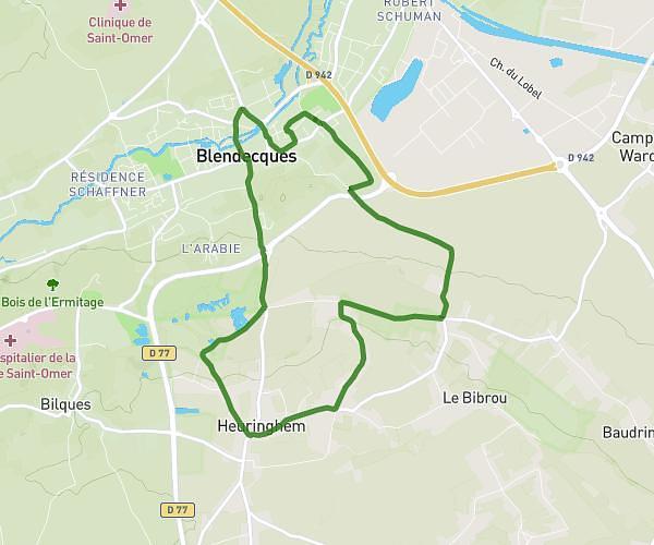
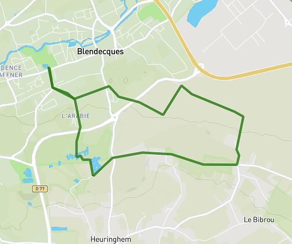
This hiking trail covers 4.509mi starting from Racquinghem, Pas-de-Calais. The hike is a loop trail and returns to the trailhead. This hike is rated as easy, plan for about 1h27m to complete it. The route has an elevation gain of 220ft and an elevation loss of 220ft.
Rando Racquinghem / Blaringhem
Route details
3.11mph
Speed
619 kcal
Calories burned
1.8%
Avg grade
Loop trail
Route type
66ft
Min altitude
171ft
Max altitude
Route profile
220ft
Elevation gain
220ft
Elevation loss
66ft
Min altitude
171ft
Max altitude
How to get there
Trailhead: 1 Place De La Mairie, 62120 Racquinghem, France
GPS coordinates of the trailhead: 50.692984, 2.356782 / 50°41'34'' N, 2°21'24'' E