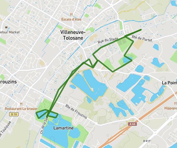
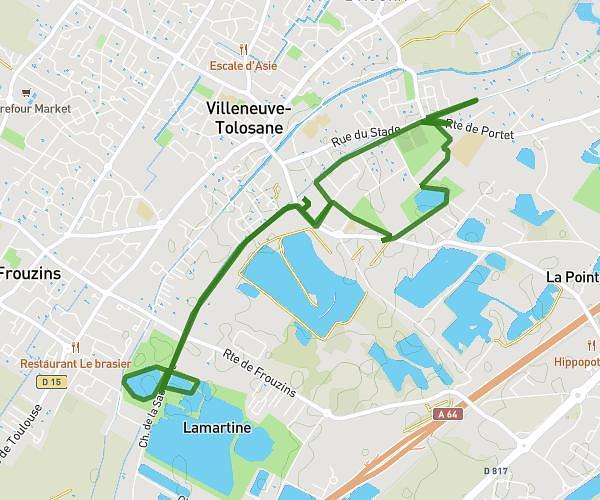
This running route covers 3.39mi starting from Sainte-Livrade, Haute-Garonne. The run is a loop trail and returns to the trailhead. This run is rated as easy, expect about 36m22s to complete it. The route has an elevation gain of 489ft and an elevation loss of 489ft.
Le 5kms
Route details
5.59mph
Speed
416 kcal
Calories burned
Loop trail
Route type
456ft
Min altitude
650ft
Max altitude
Route profile
489ft
Elevation gain
489ft
Elevation loss
456ft
Min altitude
650ft
Max altitude
How to get there
Trailhead: 549 Route Des Paguères, 31530 Sainte-Livrade, France
GPS coordinates of the trailhead: 43.653397, 1.108278 / 43°39'12'' N, 1°6'29'' E