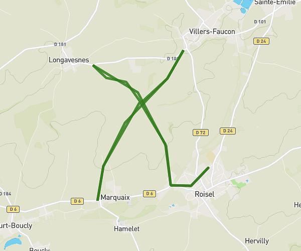
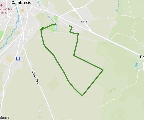
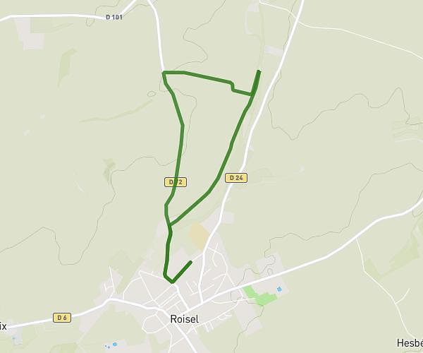
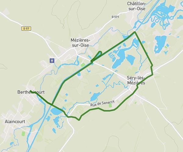
This hiking trail covers 23.383mi starting from Bohain-en-Vermandois, Aisne. The hike does not return to the trailhead and ends near Place Du Commandant Édouard Richez, 59360 Le Cateau-Cambrésis. This hike is rated as hard, plan for about 8h27m to complete it. The route has an elevation gain of 755ft and an elevation loss of 886ft.
ÉTAPE 8 (ENSEMBLE CONTRE CHARCOT)
Route details
2.77mph
Speed
3585 kcal
Calories burned
1.3%
Avg grade
Point to point
Route type
308ft
Min altitude
581ft
Max altitude
Route profile
755ft
Elevation gain
886ft
Elevation loss
308ft
Min altitude
581ft
Max altitude
How to get there
Trailhead: Place Du Général De Gaulle, 02110 Bohain-en-Vermandois
GPS coordinates of the trailhead: 49.98678, 3.45477 / 49°59'12'' N, 3°27'17'' E