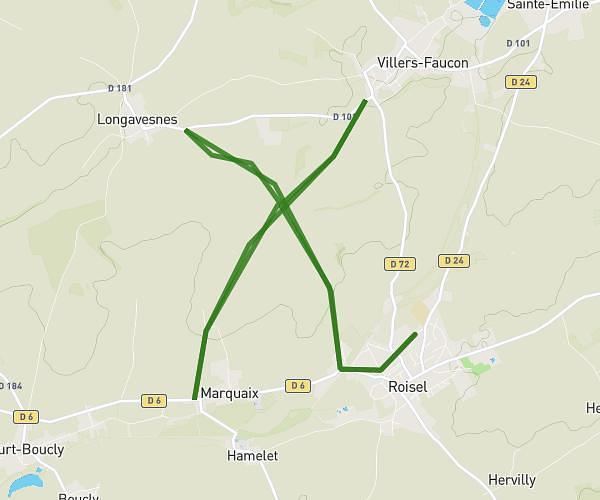
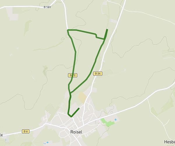
This hiking trail covers 5.947mi starting from Berthenicourt, Aisne. The hike is a loop trail and returns to the trailhead. This hike is rated as easy, plan for about 1h52m to complete it. The route has an elevation gain of 318ft and an elevation loss of 322ft.
marche du 22 juin 2025
Route details
3.19mph
Speed
797 kcal
Calories burned
2.0%
Avg grade
Loop trail
Route type
187ft
Min altitude
276ft
Max altitude
Route profile
318ft
Elevation gain
322ft
Elevation loss
187ft
Min altitude
276ft
Max altitude
How to get there
Trailhead: 13 Grande Rue, 02240 Berthenicourt, France
GPS coordinates of the trailhead: 49.7725, 3.38208 / 49°46'21'' N, 3°22'55'' E