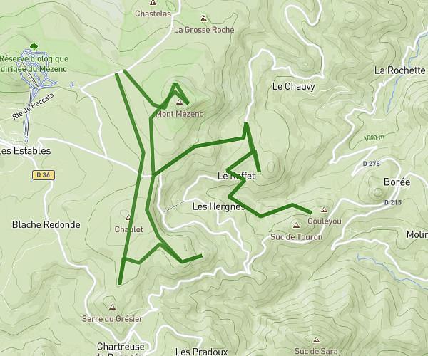
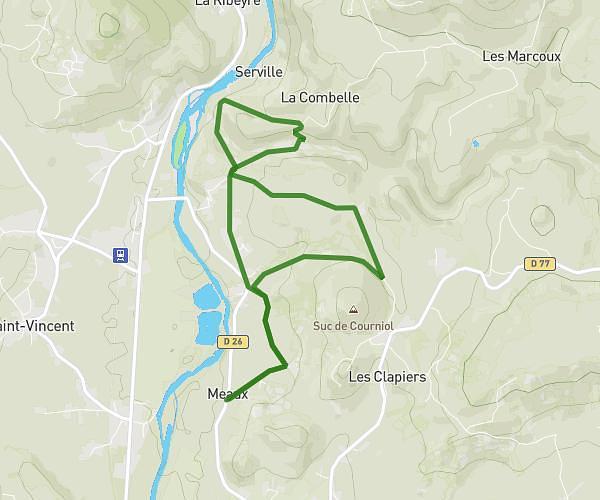
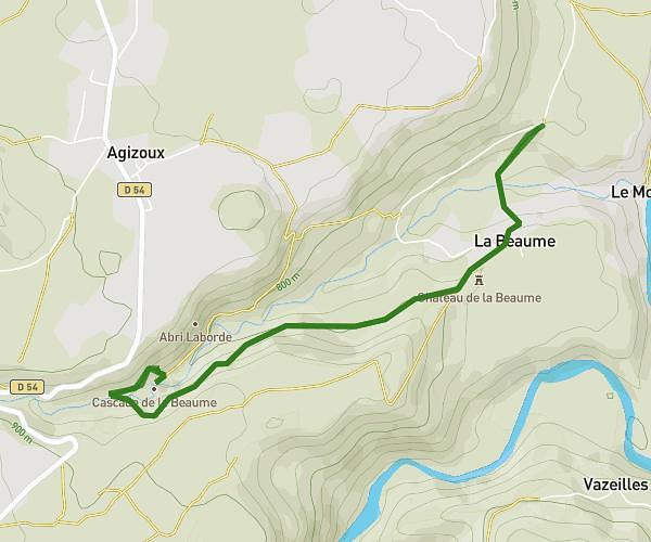
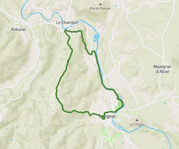
This hiking trail covers 18.42mi starting from Aiguilhe, Haute-Loire. The hike does not return to the trailhead and ends near D 312, 43510 Cayres, France. This hike is rated as strenuous, plan for about 8h1m to complete it. The route has an elevation gain of 2874ft and an elevation loss of 909ft.
Aiguilhe lac du bouchet
Route details
2.3mph
Speed
3533 kcal
Calories burned
3.9%
Avg grade
Point to point
Route type
2005ft
Min altitude
4449ft
Max altitude
Route profile
2874ft
Elevation gain
909ft
Elevation loss
2005ft
Min altitude
4449ft
Max altitude
How to get there
Trailhead: 6 Chemin Du Coteau, 43000 Aiguilhe, France
GPS coordinates of the trailhead: 45.05193, 3.88894 / 45°3'6'' N, 3°53'20'' E