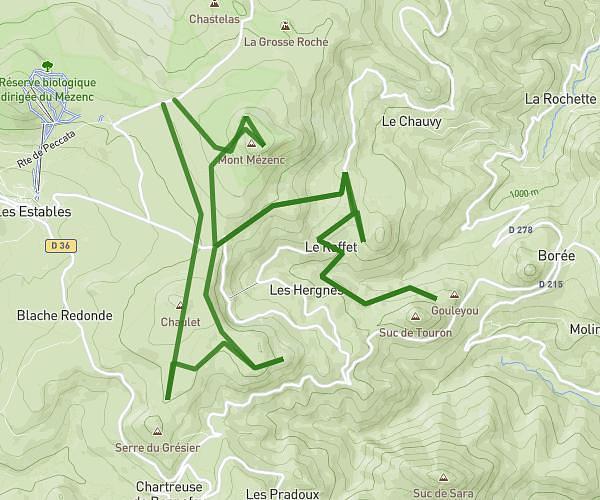
This hiking trail covers 0.518mi starting from Aiguilhe, Haute-Loire. The hike is a loop trail and returns to the trailhead. This hike is rated as easy, plan for about 11m to complete it. The route has an elevation gain of 49ft and an elevation loss of 36ft.
Chemin du coteau
Route details
2.82mph
Speed
79 kcal
Calories burned
3.1%
Avg grade
Loop trail
Route type
1998ft
Min altitude
2024ft
Max altitude
Route profile
49ft
Elevation gain
36ft
Elevation loss
1998ft
Min altitude
2024ft
Max altitude
How to get there
Trailhead: 6 Chemin Du Coteau, 43000 Aiguilhe, France
GPS coordinates of the trailhead: 45.0519, 3.88905 / 45°3'6'' N, 3°53'20'' E