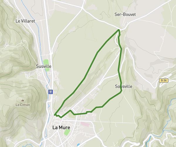
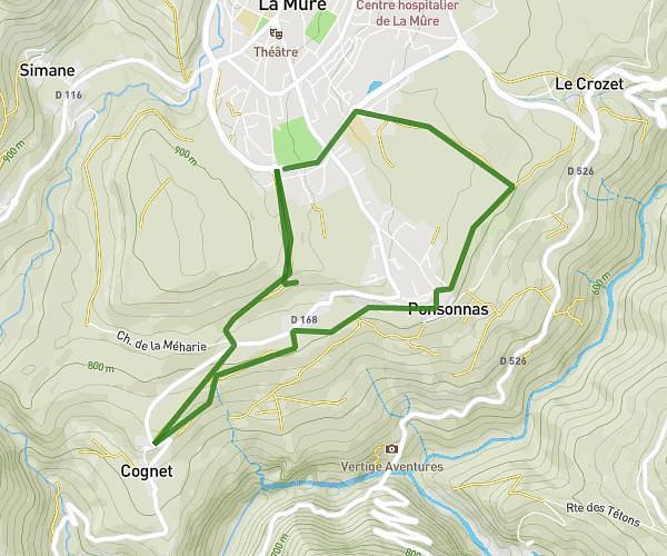
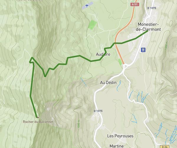
This hiking trail covers 4.671mi starting from Chamrousse, Isère. The hike is a loop trail and returns to the trailhead. This hike is rated as hard, plan for about 2h53m to complete it. The route has an elevation gain of 1335ft and an elevation loss of 1342ft.
Chamrousse
Route details
1.62mph
Speed
1320 kcal
Calories burned
10.9%
Avg grade
Loop trail
Route type
5404ft
Min altitude
6385ft
Max altitude
Steep climb
Route profile
1335ft
Elevation gain
1342ft
Elevation loss
5404ft
Min altitude
6385ft
Max altitude
How to get there
Trailhead: 534 Avenue Du Père Tasse, 38410 Chamrousse, France
GPS coordinates of the trailhead: 45.10989, 5.87566 / 45°6'35'' N, 5°52'32'' E