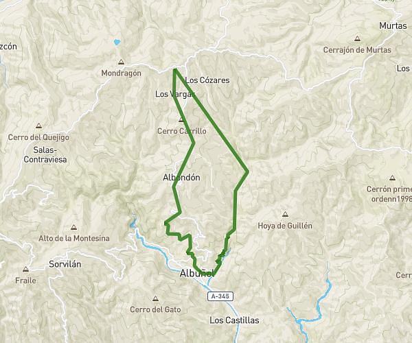
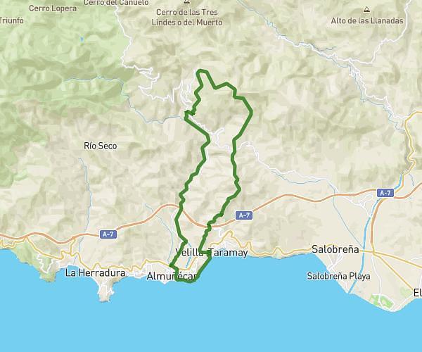
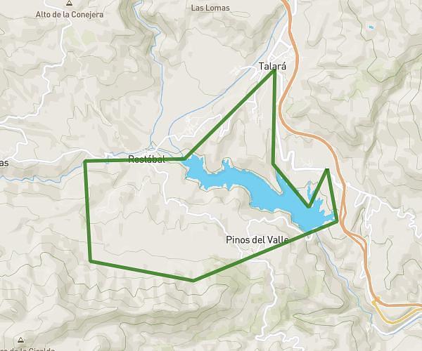
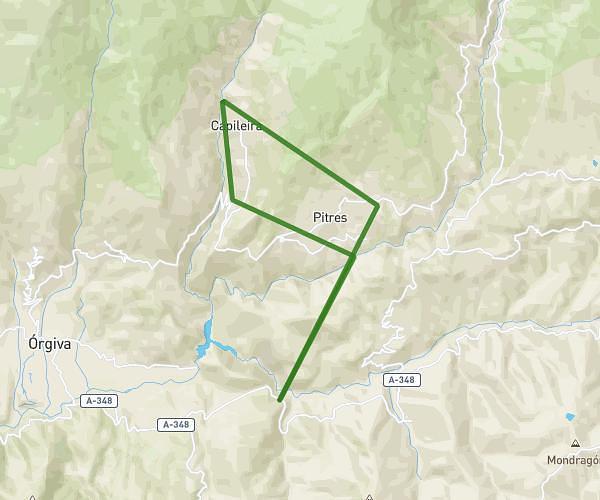
This running route covers 29.473mi starting from Motril, Granada. The run does not return to the trailhead and ends near Plaza Calvario, 18413 Capileira. This run is rated as strenuous, expect about 7h to complete it. The route has an elevation gain of 6762ft and an elevation loss of 2149ft.
DE MOTRIL A CAPILEIRA
Route details
4.21mph
Speed
4802 kcal
Calories burned
Point to point
Route type
108ft
Min altitude
4721ft
Max altitude
Route profile
6762ft
Elevation gain
2149ft
Elevation loss
108ft
Min altitude
4721ft
Max altitude
How to get there
Trailhead: Ronda De Levante, 18600 Motril
GPS coordinates of the trailhead: 36.74532, -3.50878 / 36°44'43'' N, 3°30'31'' W