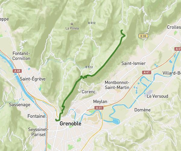
This hiking trail covers 11.857mi starting from Saint-Mury-Monteymond, Isère. The hike is a loop trail and returns to the trailhead. This hike is rated as strenuous, plan for about 11h14m to complete it. The route has an elevation gain of 6942ft and an elevation loss of 6939ft.
4 lacs belledonne
Route details
1.06mph
Speed
5590 kcal
Calories burned
22.2%
Avg grade
Loop trail
Route type
3051ft
Min altitude
8658ft
Max altitude
High altitude
Steep climb
Route profile
6942ft
Elevation gain
6939ft
Elevation loss
3051ft
Min altitude
8658ft
Max altitude
How to get there
Trailhead: Chemin Des Cascades, 38190 Saint-Mury-Monteymond, France
GPS coordinates of the trailhead: 45.20475, 5.94515 / 45°12'17'' N, 5°56'42'' E