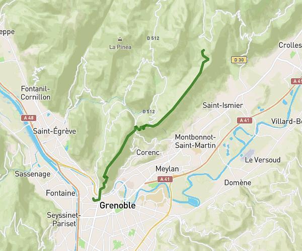
This hiking trail covers 11.432mi starting from La Combe-de-Lancey, Isère. The hike is a loop trail and returns to the trailhead. This hike is rated as strenuous, plan for about 8h40m to complete it. The route has an elevation gain of 4760ft and an elevation loss of 4734ft.
belledonne
Route details
1.32mph
Speed
4118 kcal
Calories burned
15.7%
Avg grade
Loop trail
Route type
4262ft
Min altitude
7838ft
Max altitude
Steep climb
Route profile
4760ft
Elevation gain
4734ft
Elevation loss
4262ft
Min altitude
7838ft
Max altitude
How to get there
Trailhead: Route Forestière De Pré Raymond, 38190 La Combe-de-Lancey, France
GPS coordinates of the trailhead: 45.18686, 5.91295 / 45°11'12'' N, 5°54'46'' E