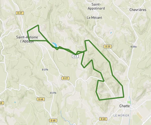
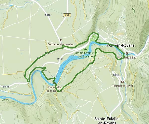
This hiking trail covers 3.869mi starting from Chatte, Isère. The hike is a loop trail and returns to the trailhead. This hike is rated as moderate, plan for about 2h4m to complete it. The route has an elevation gain of 682ft and an elevation loss of 682ft.
Chatte forêt
Route details
1.86mph
Speed
920 kcal
Calories burned
6.7%
Avg grade
Loop trail
Route type
1053ft
Min altitude
1467ft
Max altitude
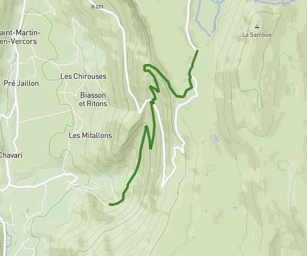
Route profile
682ft
Elevation gain
682ft
Elevation loss
1053ft
Min altitude
1467ft
Max altitude
How to get there
Trailhead: 290 Chemin Du Tram, 38160 Chatte, France
GPS coordinates of the trailhead: 45.158226, 5.265695 / 45°9'29'' N, 5°15'56'' E