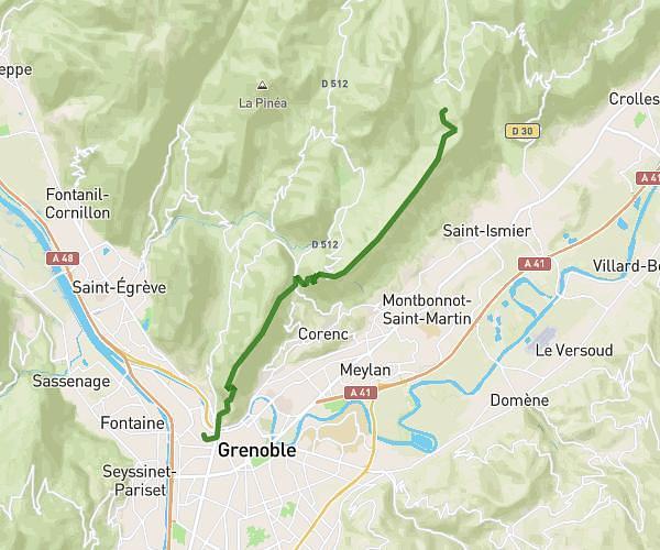
This hiking trail covers 5.284mi starting from Saint-Pierre-de-Chartreuse, Isère. The hike does not return to the trailhead and ends near Chemin De Chamechaude, 38700 Le Sappey-en-Chartreuse, France. This hike is rated as strenuous, plan for about 2h50m to complete it. The route has an elevation gain of 3028ft and an elevation loss of 745ft.
st hugues de chartreuse - habert chamechaude
Route details
1.86mph
Speed
1406 kcal
Calories burned
13.5%
Avg grade
Point to point
Route type
2907ft
Min altitude
5292ft
Max altitude
Steep climb
Route profile
3028ft
Elevation gain
745ft
Elevation loss
2907ft
Min altitude
5292ft
Max altitude
How to get there
Trailhead: 23 Place Arcabas, 38380 Saint-Pierre-de-Chartreuse, France
GPS coordinates of the trailhead: 45.32341, 5.80631 / 45°19'24'' N, 5°48'22'' E