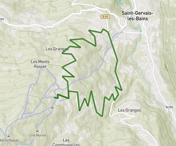
This hiking trail covers 9.687mi starting from Saint-Gervais-les-Bains, Haute-Savoie. The hike is a loop trail and returns to the trailhead. This hike is rated as strenuous, plan for about 4h30m to complete it. The route has an elevation gain of 3235ft and an elevation loss of 3238ft.
déchetterie St-Gervais-Bellevue par la passerelle de Bionnassay
Route details
2.15mph
Speed
2089 kcal
Calories burned
12.7%
Avg grade
Loop trail
Route type
3140ft
Min altitude
5866ft
Max altitude
Steep climb
Route profile
3235ft
Elevation gain
3238ft
Elevation loss
3140ft
Min altitude
5866ft
Max altitude
How to get there
Trailhead: 86 Chemin Des Bouquetins, 74170 Saint-Gervais-les-Bains, France
GPS coordinates of the trailhead: 45.85876, 6.72983 / 45°51'31'' N, 6°43'47'' E