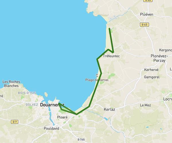
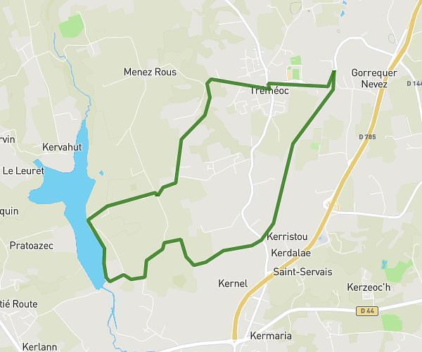
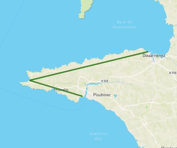
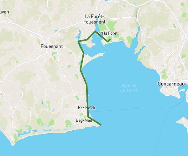
This hiking trail covers 6.257mi starting from Quimper, Finistère. The hike does not return to the trailhead and ends near 7 Rue Luzel, 29000 Quimper, France. This hike is rated as moderate, plan for about 4h37m to complete it. The route has an elevation gain of 568ft and an elevation loss of 561ft.
Balade dans Quimper
Route details
1.35mph
Speed
1995 kcal
Calories burned
3.4%
Avg grade
Point to point
Route type
16ft
Min altitude
220ft
Max altitude
Route profile
568ft
Elevation gain
561ft
Elevation loss
16ft
Min altitude
220ft
Max altitude
How to get there
Trailhead: Pont Saint-François, 29000 Quimper, France
GPS coordinates of the trailhead: 47.99443, -4.10416 / 47°59'39'' N, 4°6'14'' W