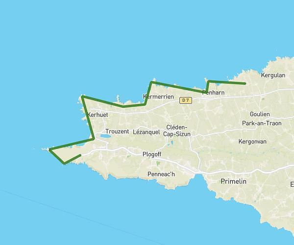
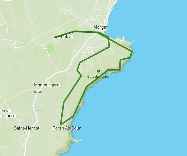
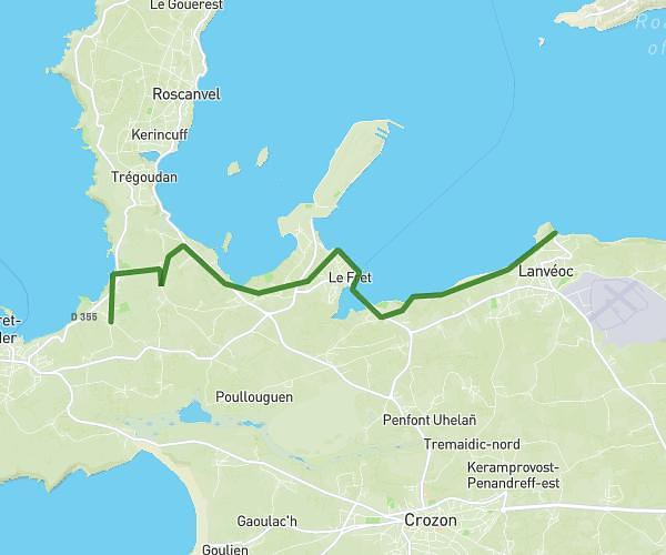
This hiking trail covers 10.679mi starting from Plogoff, Finistère. The hike is a loop trail and returns to the trailhead. This hike is rated as moderate, plan for about 5h48m to complete it. The route has an elevation gain of 928ft and an elevation loss of 909ft.
boucle pors loubous, trez goarem
Route details
1.84mph
Speed
2508 kcal
Calories burned
3.3%
Avg grade
Loop trail
Route type
13ft
Min altitude
200ft
Max altitude
Route profile
928ft
Elevation gain
909ft
Elevation loss
13ft
Min altitude
200ft
Max altitude
How to get there
Trailhead: Chemin Des Époux Normant, 29770 Plogoff, France
GPS coordinates of the trailhead: 48.02531, -4.66293 / 48°1'31'' N, 4°39'46'' W