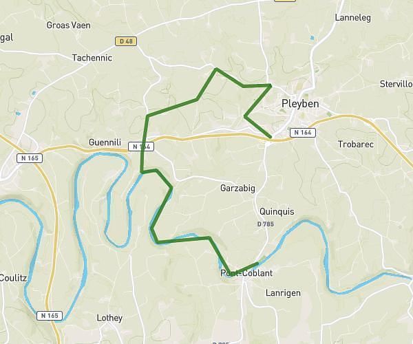
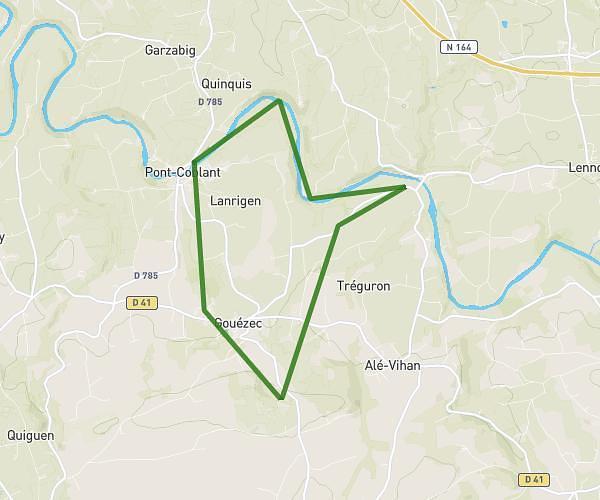
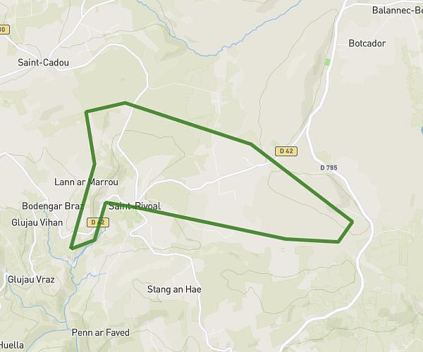
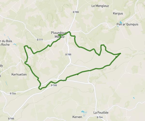
This hiking trail covers 11.088mi starting from Huelgoat, Finistère. The hike is a loop trail and returns to the trailhead. This hike is rated as hard, plan for about 6h51m to complete it. The route has an elevation gain of 1286ft and an elevation loss of 1286ft.
foret de huelgoat
Route details
1.62mph
Speed
2987 kcal
Calories burned
4.4%
Avg grade
Loop trail
Route type
351ft
Min altitude
846ft
Max altitude
Route profile
1286ft
Elevation gain
1286ft
Elevation loss
351ft
Min altitude
846ft
Max altitude
How to get there
Trailhead: 29 Rue Du Général De Gaulle, 29690 Huelgoat, France
GPS coordinates of the trailhead: 48.3627, -3.75169 / 48°21'45'' N, 3°45'6'' W