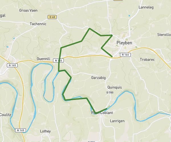
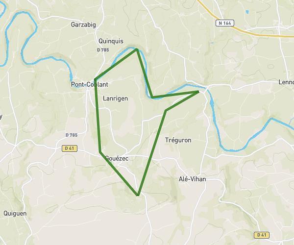
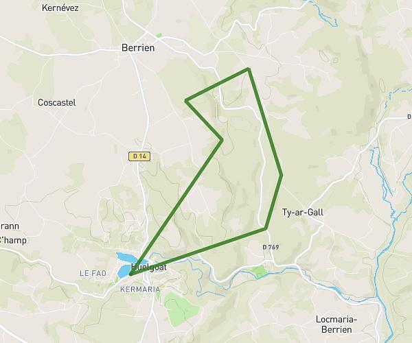
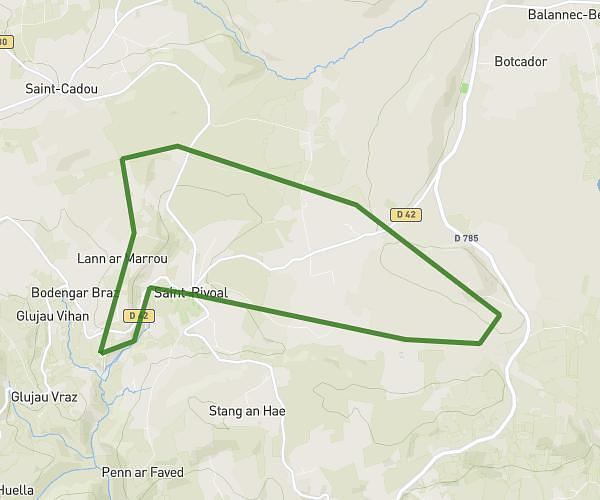
This hiking trail covers 9.959mi starting from Huelgoat, Finistère. The hike is a loop trail and returns to the trailhead. This hike is rated as moderate, plan for about 6h37m to complete it. The route has an elevation gain of 1007ft and an elevation loss of 1001ft.
Huelgoat
Route details
1.5mph
Speed
2870 kcal
Calories burned
3.8%
Avg grade
Loop trail
Route type
315ft
Min altitude
659ft
Max altitude
Route profile
1007ft
Elevation gain
1001ft
Elevation loss
315ft
Min altitude
659ft
Max altitude
How to get there
Trailhead: Rue Du 5 Août 1944, 29690 Huelgoat
GPS coordinates of the trailhead: 48.36395, -3.74435 / 48°21'50'' N, 3°44'39'' W