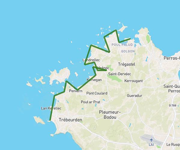
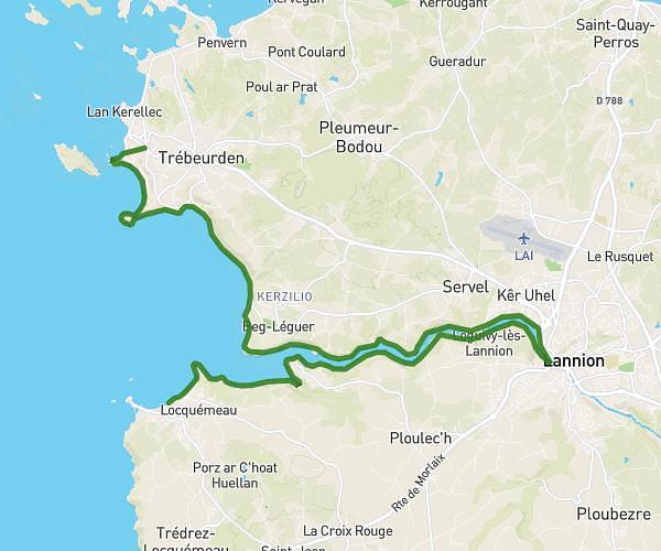
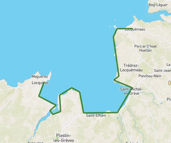
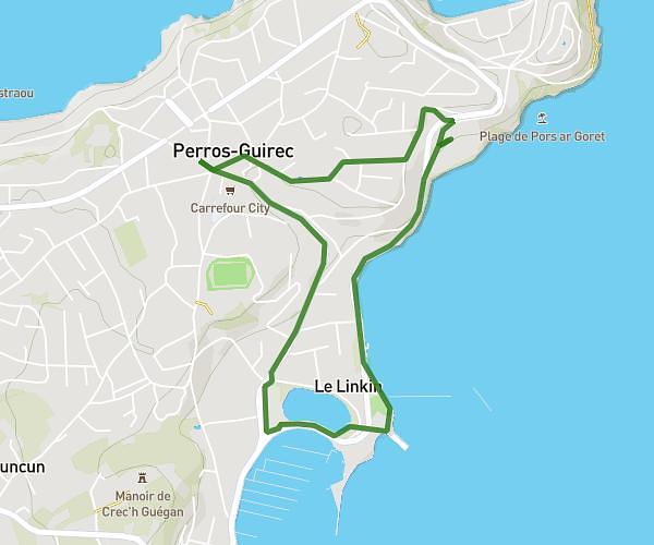
This hiking trail covers 10.921mi starting from Saint-Jean-du-Doigt, Finistère. The hike is a loop trail and returns to the trailhead. This hike is rated as hard, plan for about 4h42m to complete it. The route has an elevation gain of 1969ft and an elevation loss of 1972ft.
saint jean du doigt
Route details
2.32mph
Speed
2086 kcal
Calories burned
6.8%
Avg grade
Loop trail
Route type
0ft
Min altitude
338ft
Max altitude
Route profile
1969ft
Elevation gain
1972ft
Elevation loss
0ft
Min altitude
338ft
Max altitude
How to get there
Trailhead: Route De La Plage, 29630 Saint-Jean-du-Doigt
GPS coordinates of the trailhead: 48.69488, -3.77361 / 48°41'41'' N, 3°46'24'' W