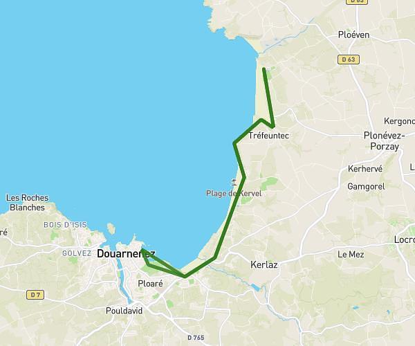
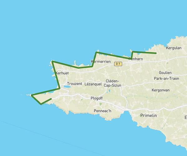
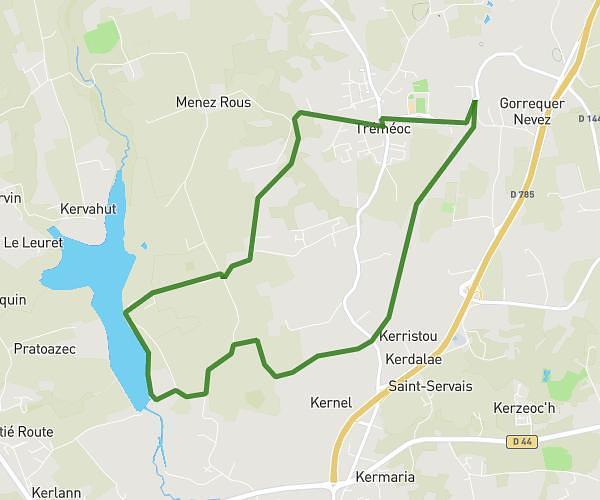
This hiking trail covers 16.077mi starting from Plonévez-Porzay, Finistère. The hike is a loop trail and returns to the trailhead. This hike is rated as strenuous, plan for about 7h56m to complete it. The route has an elevation gain of 1804ft and an elevation loss of 1801ft.
TREFEUNTEC
Route details
2.03mph
Speed
3452 kcal
Calories burned
4.2%
Avg grade
Loop trail
Route type
10ft
Min altitude
272ft
Max altitude
Route profile
1804ft
Elevation gain
1801ft
Elevation loss
10ft
Min altitude
272ft
Max altitude
How to get there
Trailhead: 2 Route De L'anse, 29550 Plonévez-Porzay, France
GPS coordinates of the trailhead: 48.13056, -4.26783 / 48°7'50'' N, 4°16'4'' W