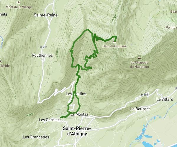
MapPlanner
11.979mi
Distance
6h59m
Duration
2.08mph
Speed
6122ft
Elevation +
6089ft
Elevation -
3773ft
Min altitude
8123ft
Max altitude
Difficult
Level

Le Grand'Arc

View of the Grand'Arc on the way up
View of Tournette from Petit Arc
The Petit Arc cross
The Petit Arc cross
View of the Grand'Arc from the Petit Arc
The Grand'Arc cross
The Grand'Arc cross
View of the Corbeau tooth from the Grand'Arc
View of Lake Annecy from Dent du Corbeau
View of the Grand'Arc from the Dent du Corbeau

Route details

Explore this hiking route of 11.979mi starting from Bonvillard, Savoie. The hike is a loop and returns to the starting point. This hike is rated as difficult, plan for about 6h59m to complete it. The route has a positive elevation gain of 6122ft and a negative elevation loss of 6089ft.

Description of the route by the creator

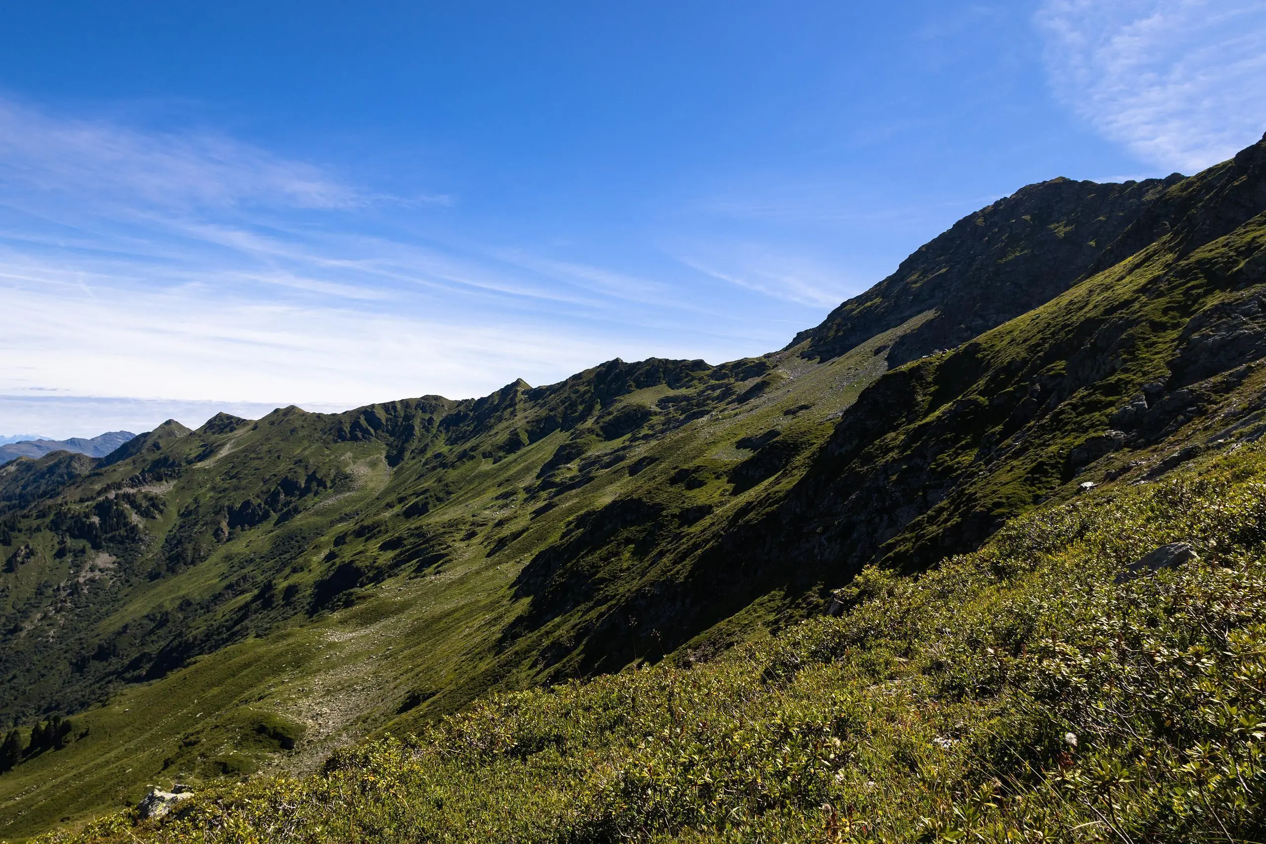
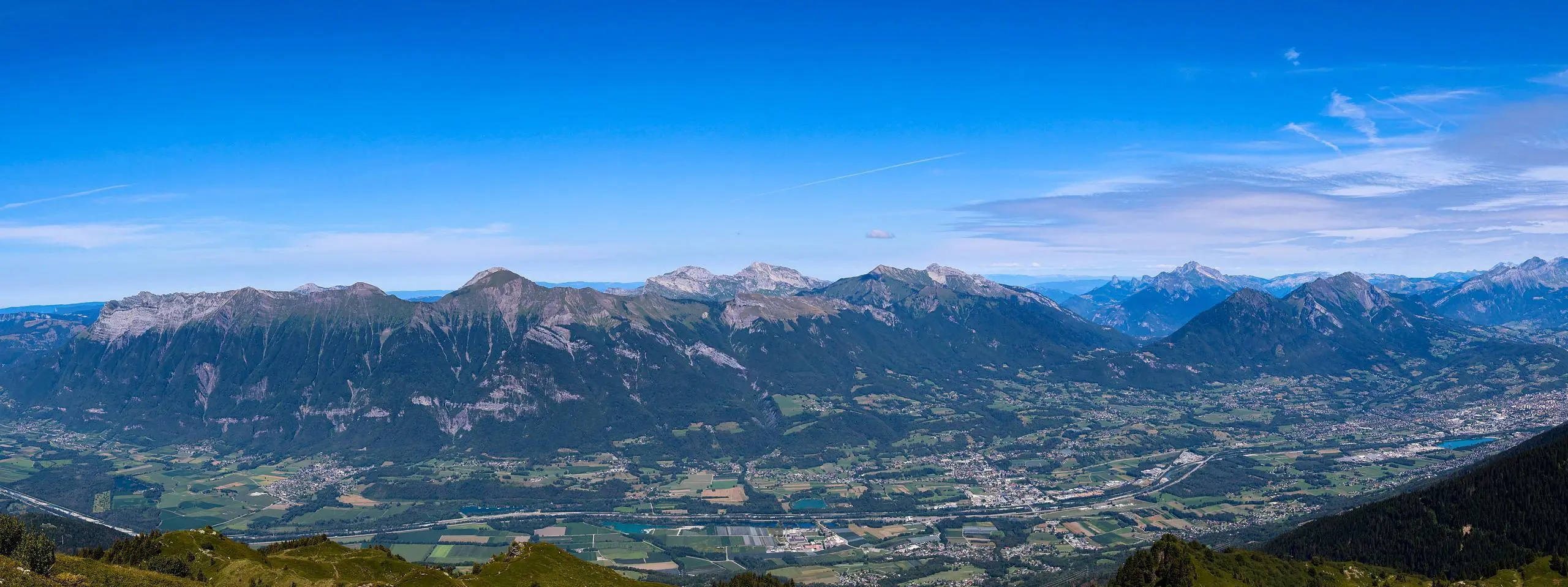
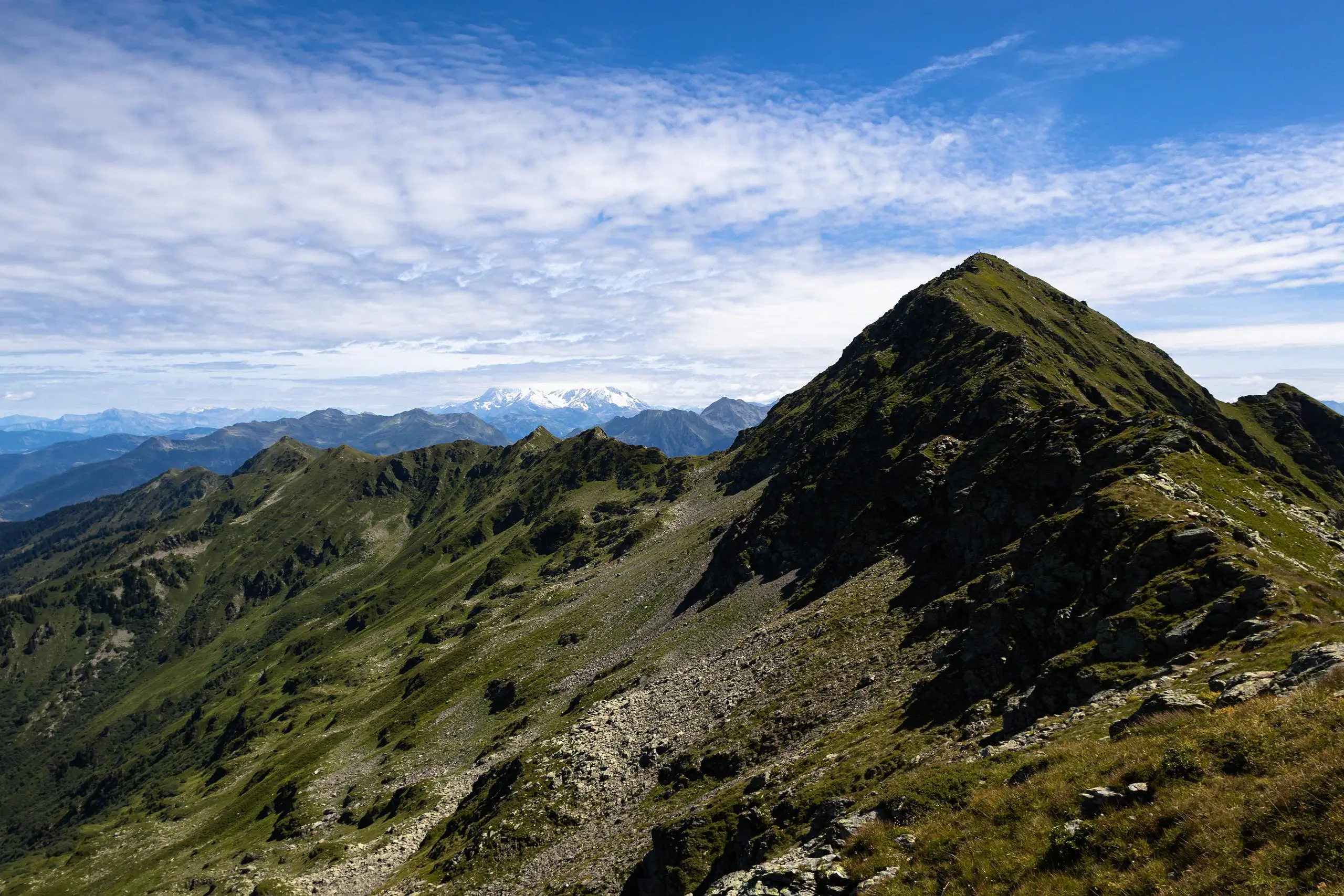
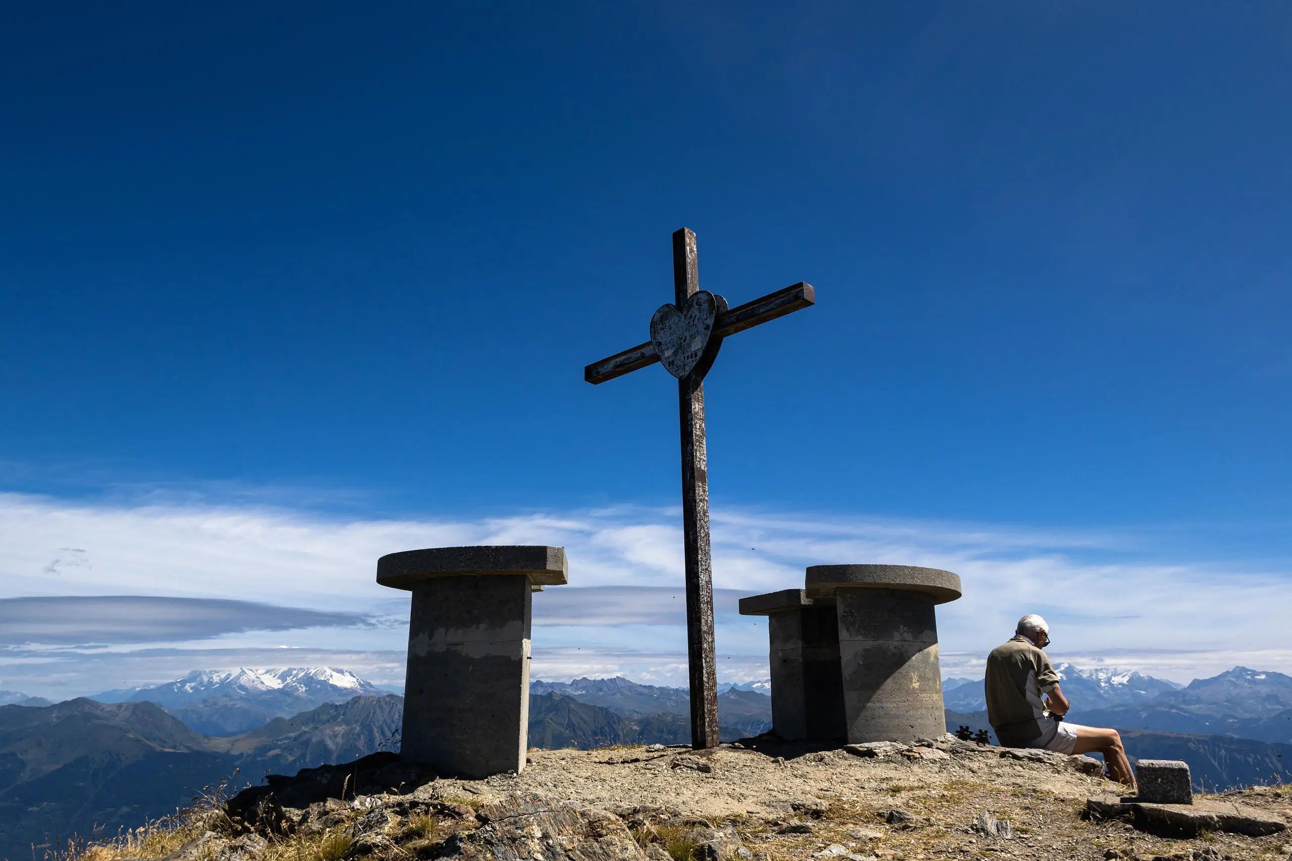
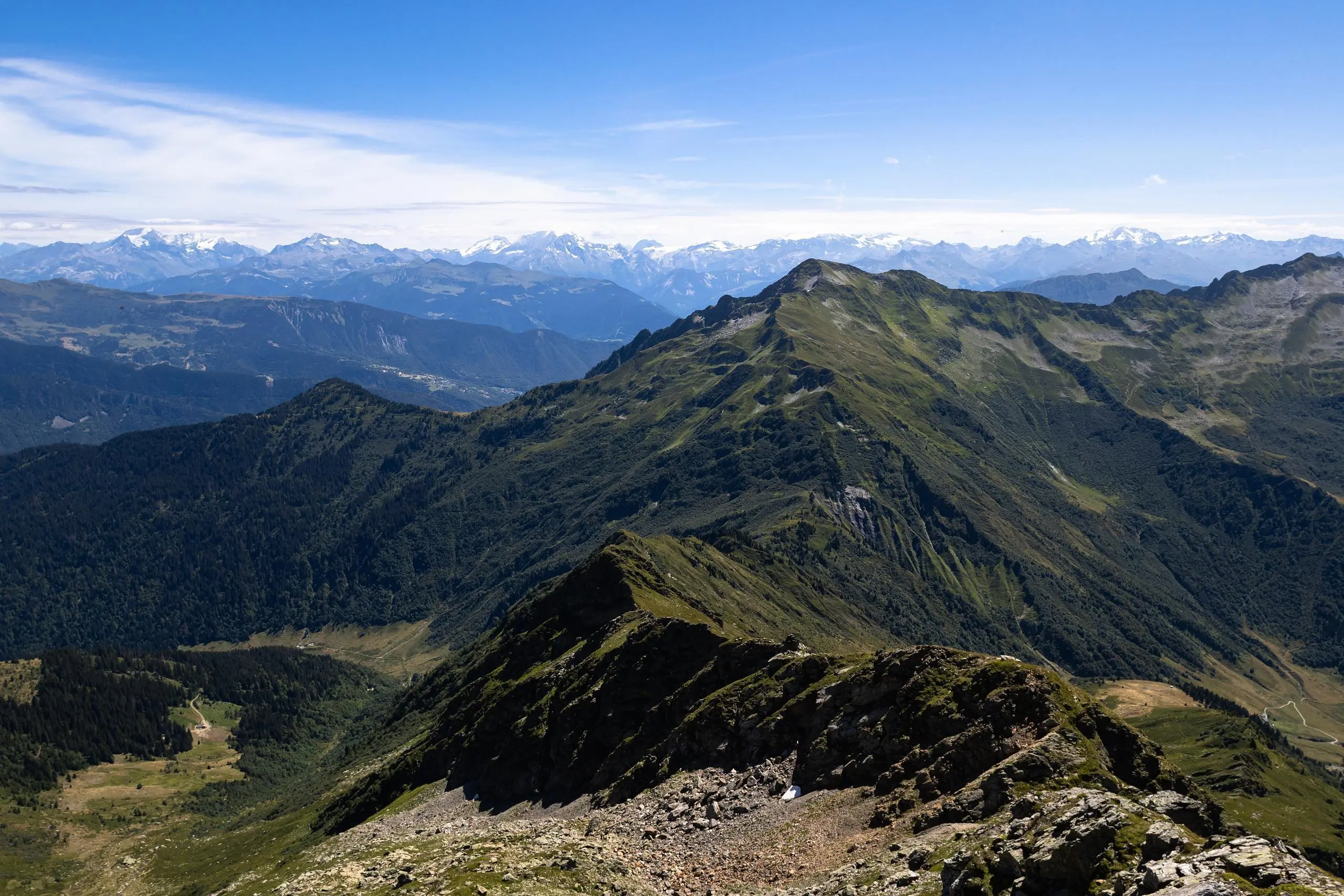
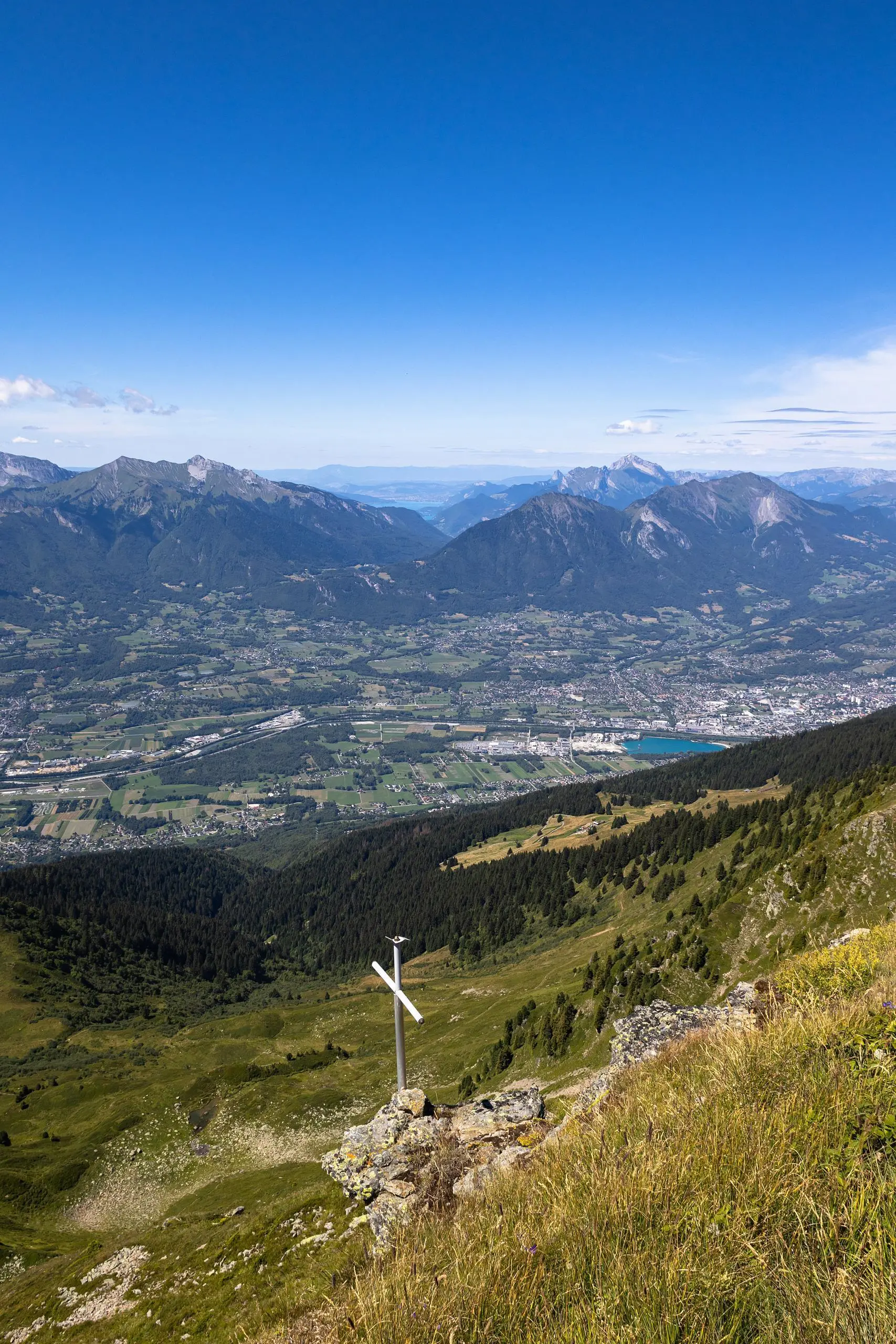
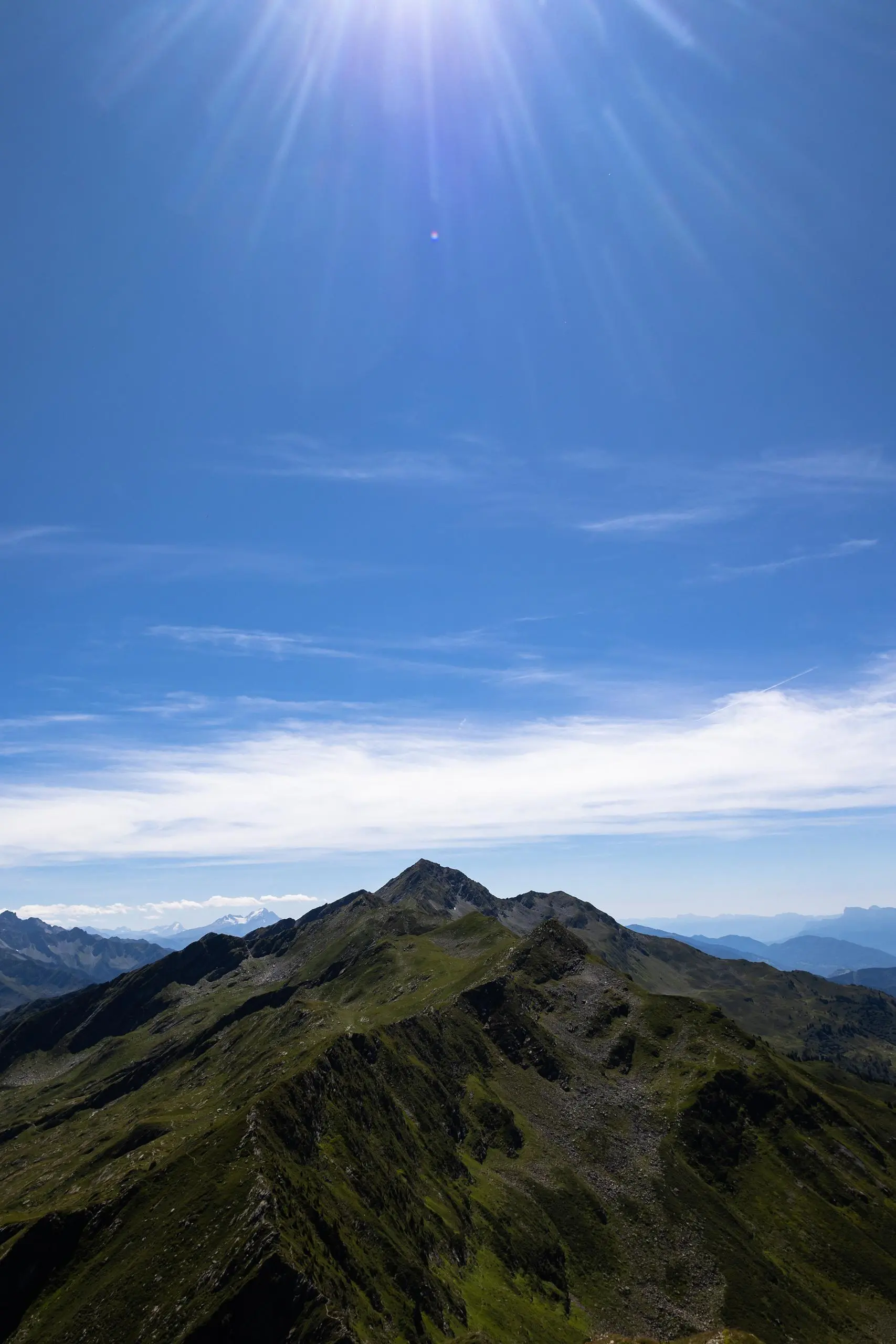
The route starts from the Champenay parking lot. Follow the signs to the chalet de la Platière or Petit'Arc (the start of the route does not follow the normal path). Then climb to Petit'Arc, the first summit of the chain. Continue straight on along the ridge. The ridge presents few difficulties, only a few places are a little more arduous, but there are chains to help you through the more difficult passages. The final summit, the Dent du Corbeau, offers a beautiful view of Lake Annecy. Then return via the refuge de la Thuile and follow the signs back to the starting parking lot.

(Description automatically translated)
Beaufort

Route profile

6122ft
Elevation +
6089ft
Elevation -
3773ft
Min altitude
8123ft
Max altitude

How to get there

Route starting point: 73460 Bonvillard

GPS coordinates of the starting point: 45.58132, 6.3326 / 45°34'52'' N, 6°19'57'' E