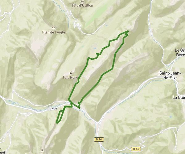

This hiking trail covers 10.625mi starting from Chevaline, Doussard, Haute-Savoie. The hike is a loop trail and returns to the trailhead. This hike is rated as strenuous, plan for about 5h14m to complete it. The route has an elevation gain of 5030ft and an elevation loss of 4997ft.
Description of the route by the creator
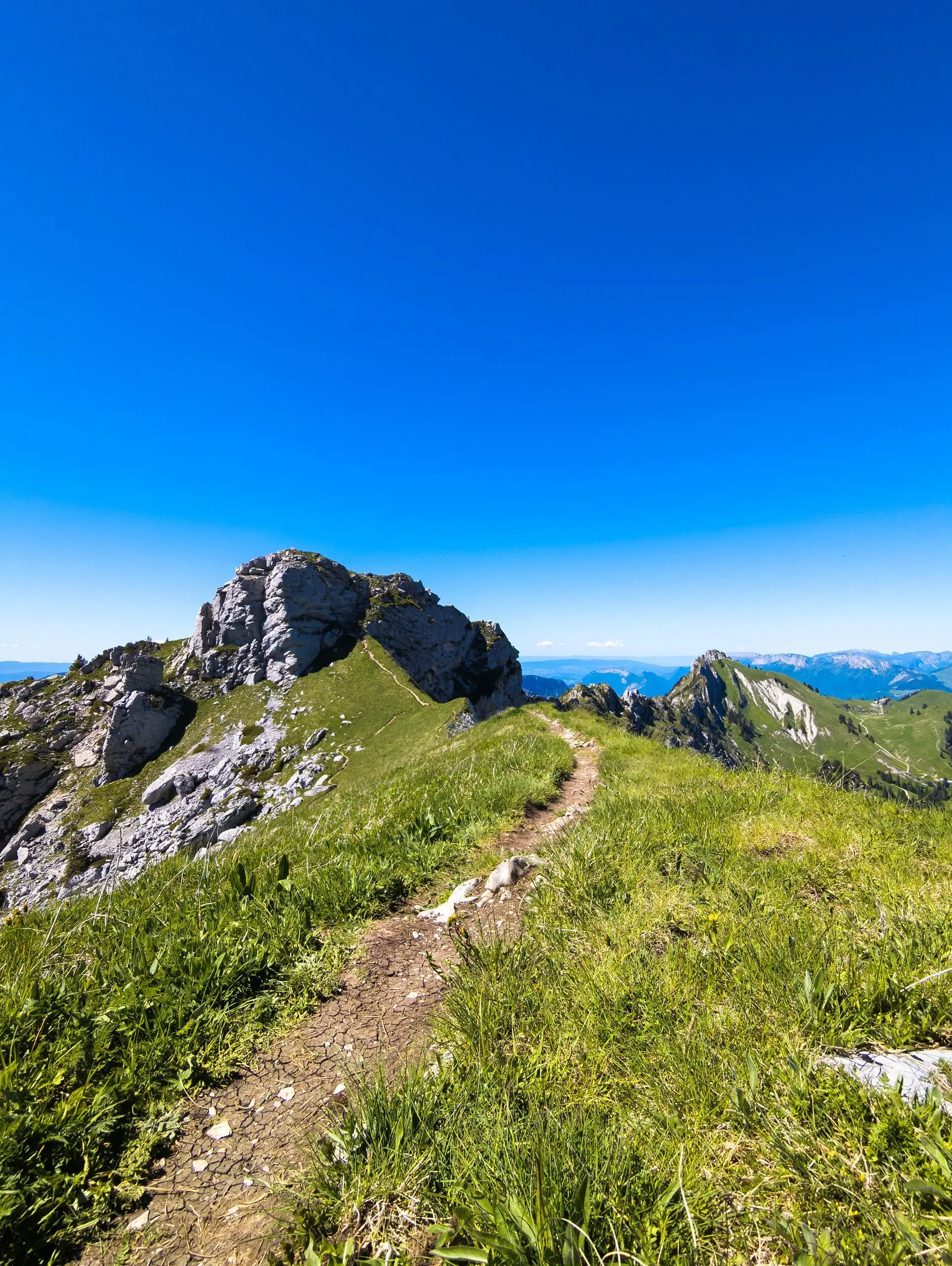
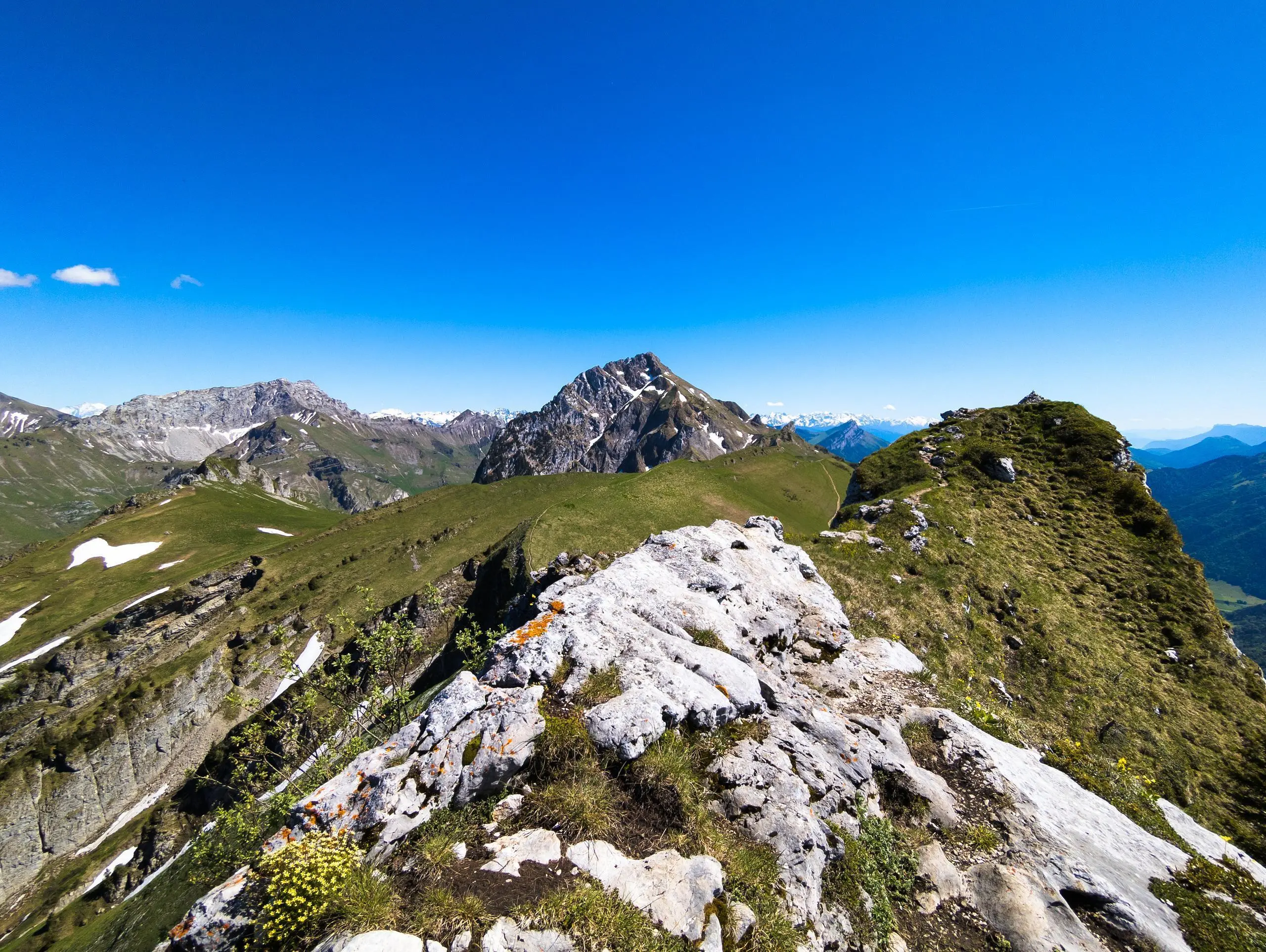
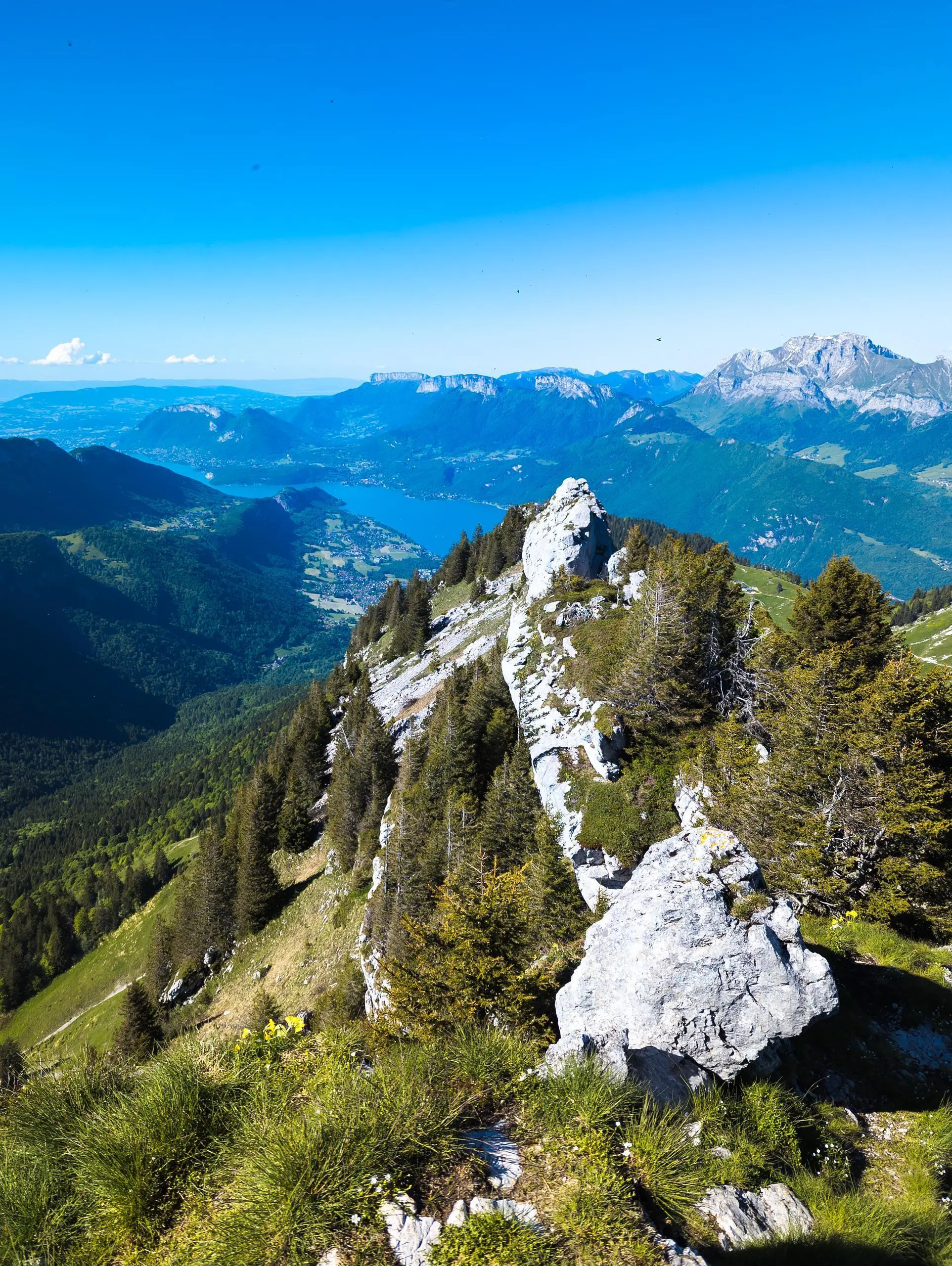
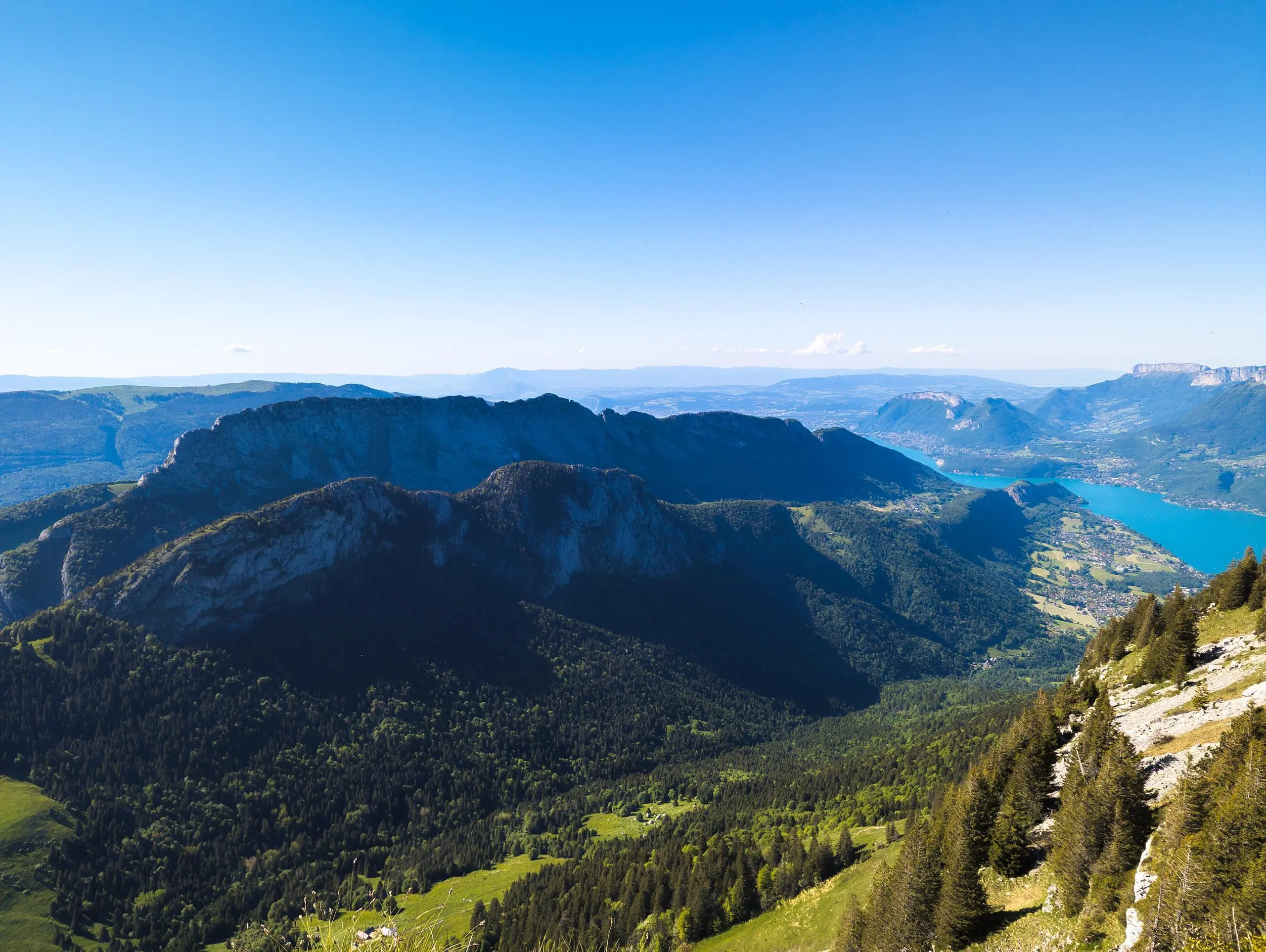
Park at the parking lot at the end of the small road. Follow the signs to the Chalet du Planay. Then head for the Chalet du Charbonnet. From this chalet, turn right to reach the ridge and the Dent des Portes. Follow the ridge all the way to the Pointe de Banc Plat. Descend via Chalet du Rosay and rejoin the uphill path a little further on. WARNING: the ridge is quite exposed and requires careful walking. There is no climbing, but a few steps are required on the rocks.