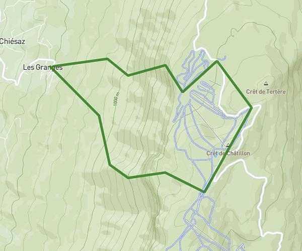
This hiking trail covers 4.919mi starting from Vallières-sur-Fier, Haute-Savoie. The hike is a loop trail and returns to the trailhead. This hike is rated as easy, plan for about 2h55m to complete it. The route has an elevation gain of 1818ft and an elevation loss of 1811ft.
Description of the route by the creator
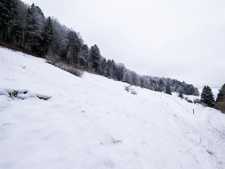
Easy route with beautiful viewpoints to go to the top of the Princes mountain. Park at the Chavanne parking lot, just above the village of Saint André. There are 2 possible parking places, the second one further on the path. Start straight on the path and from the second parking, follow the signs for the Mont des Princes / La ferme du Comte all the way. Similarly for the return, the path is well indicated to come back to La Chavanne. Within the first few minutes of the hike, you will come to an old chapel built at the end of the Roman Empire. The path starts on the opposite side of the chapel and continues on a steep climb (the only difficulty of the route). You arrive then at the edge of the cliff with a beautiful view on Annecy and on the Rhône and the Grand Colombier. Continue the path in the forest to arrive at the farm of the Count. You will have a beautiful view on the Mont-Blanc and the Tournette. Finally, go back down to the Chavanne by taking the indicated path.