This hiking trail covers 4.168mi starting from Taninges, Haute-Savoie. The hike is a loop trail and returns to the trailhead. This hike is rated as moderate, plan for about 4h30m to complete it. The route has an elevation gain of 1631ft and an elevation loss of 1637ft.
Description of the route by the creator
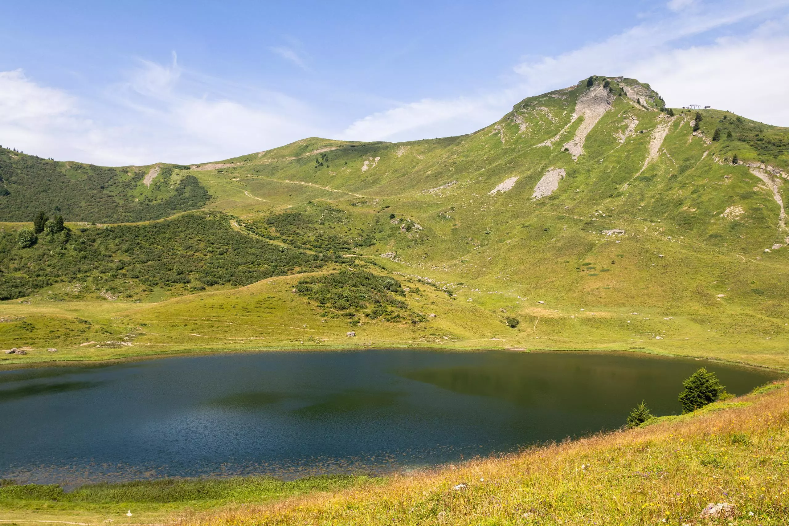
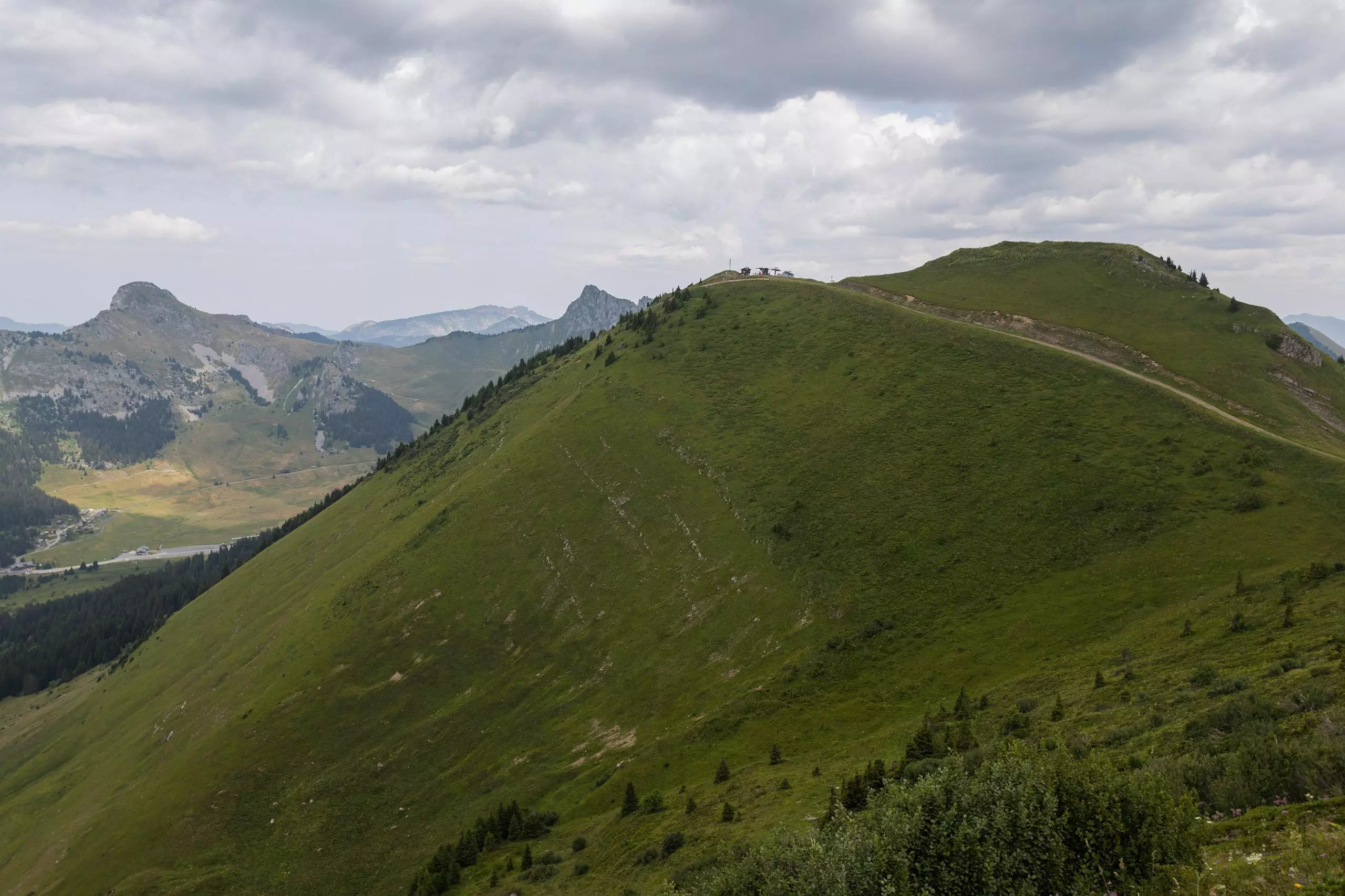
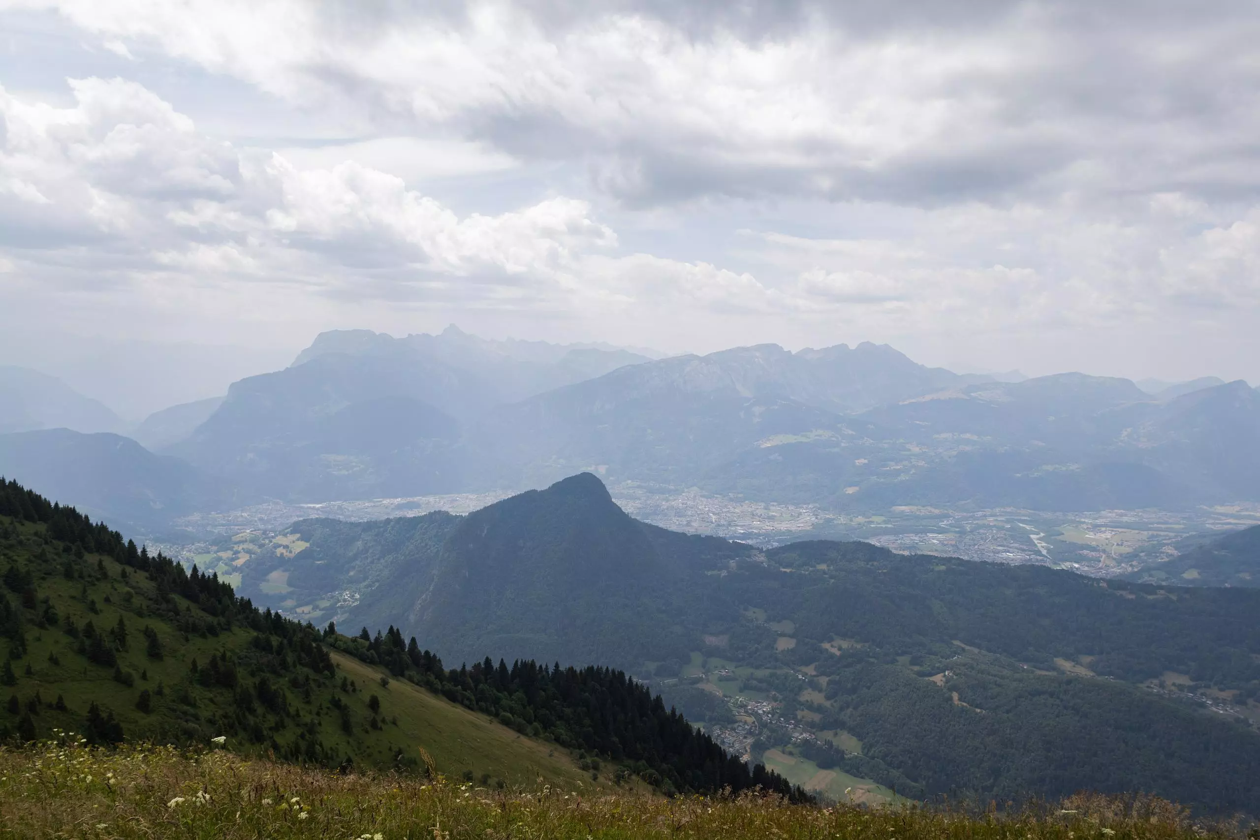
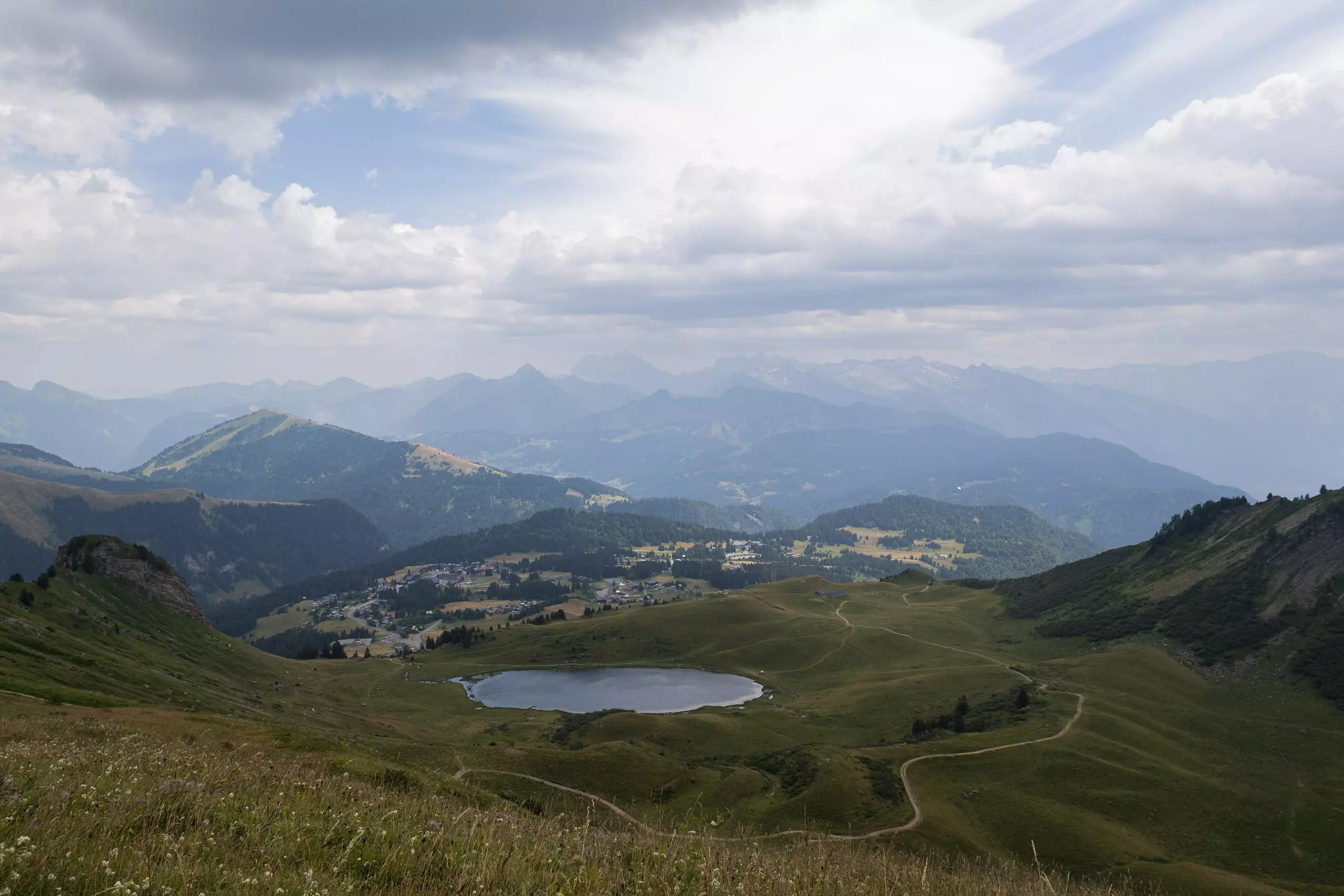
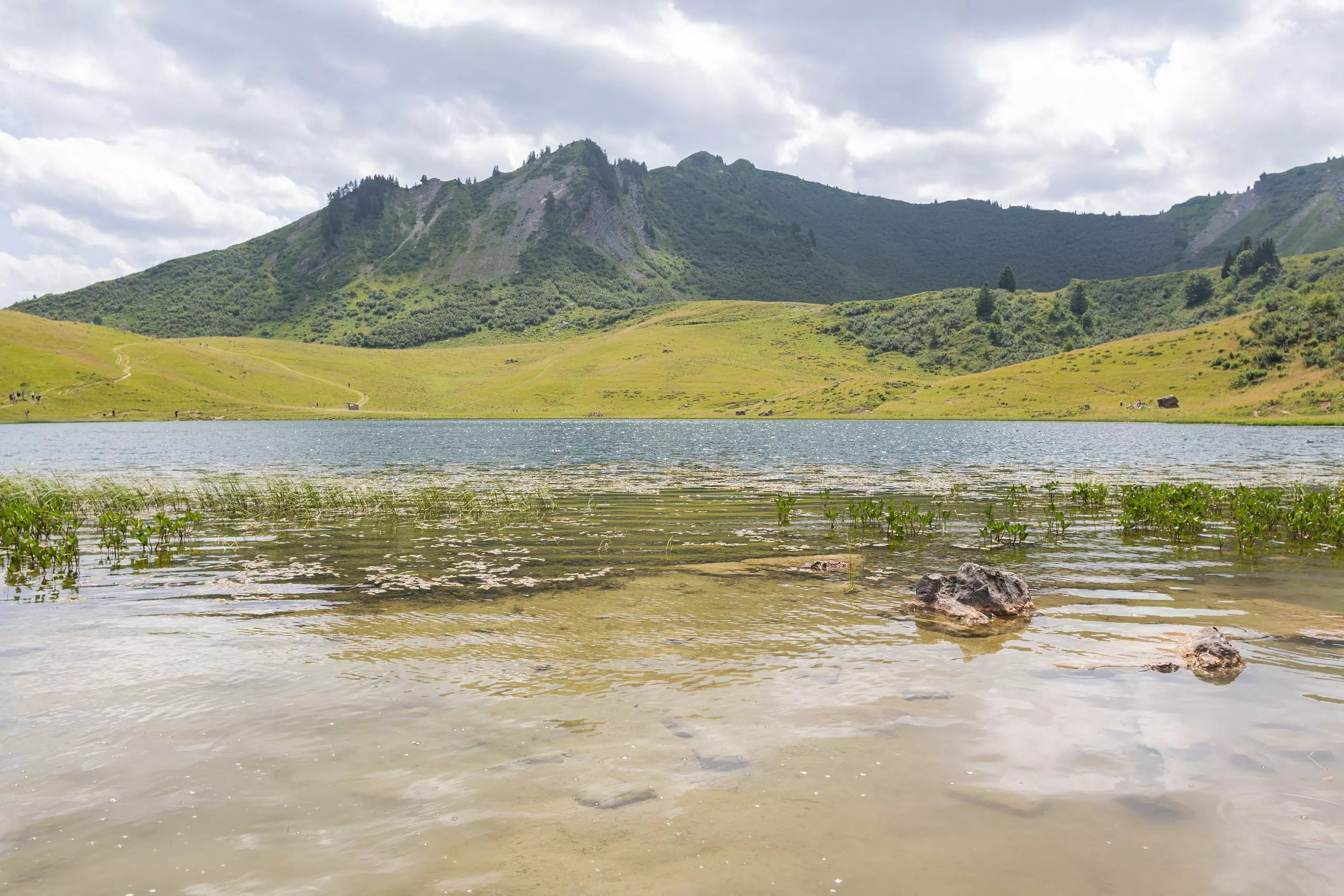
Start the walk from parking lot no. 5 at the Praz de Lys resort. The walk is easy to follow and offers lovely views of the surrounding mountains. The walk takes you around Lac de Roy, passing the summit of Point de Perret. It ends by skirting the small lake and then descending to the parking lot. It is also possible to start from the Chalet de Véran parking lot, where the climb is slightly less, but more frequented.