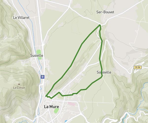
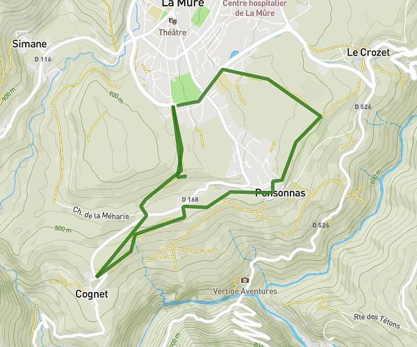
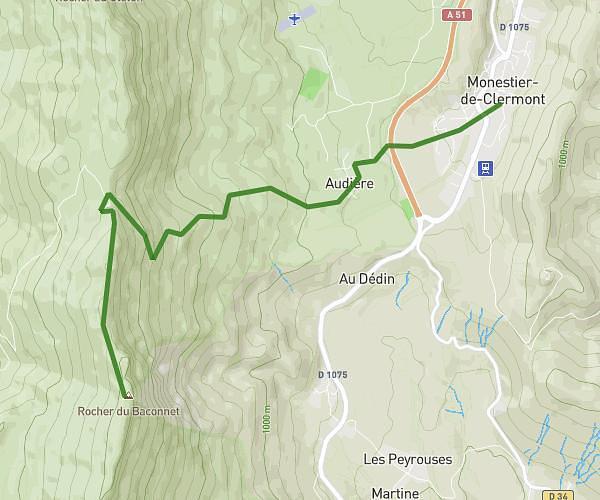
This hiking trail covers 16.389mi starting from Lans-en-Vercors, Isère. The hike is a loop trail and returns to the trailhead. This hike is rated as strenuous, plan for about 6h30m to complete it. The route has an elevation gain of 3045ft and an elevation loss of 3025ft.
80 euro
Route details
2.52mph
Speed
2890 kcal
Calories burned
7.0%
Avg grade
Loop trail
Route type
4396ft
Min altitude
5449ft
Max altitude
Route profile
3045ft
Elevation gain
3025ft
Elevation loss
4396ft
Min altitude
5449ft
Max altitude
How to get there
Trailhead: Route Des Montagnes De Lans, 38250 Lans-en-Vercors
GPS coordinates of the trailhead: 45.11301, 5.60584 / 45°6'46'' N, 5°36'21'' E