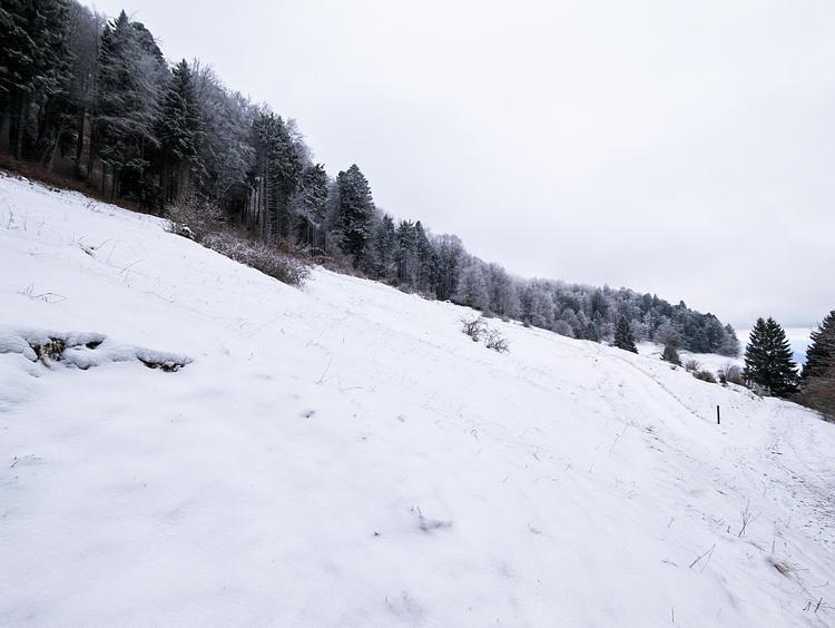
This hiking trail covers 0.337mi starting from Challonges, Haute-Savoie. The hike does not return to the trailhead and ends near Chemin De Volland, 74910 Challonges. This hike is rated as easy, plan for about 10m50s to complete it. The route has an elevation gain of 36ft and an elevation loss of 112ft.
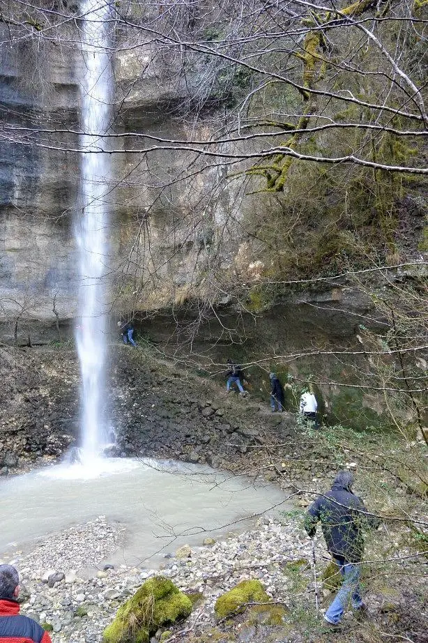
Cascade de Baud
Route details
1.86mph
Speed
78 kcal
Calories burned
8.3%
Avg grade
Point to point
Route type
896ft
Min altitude
1004ft
Max altitude
Steep climb
Route profile
36ft
Elevation gain
112ft
Elevation loss
896ft
Min altitude
1004ft
Max altitude
How to get there
Trailhead: Chemin De Volland, 74910 Challonges
GPS coordinates of the trailhead: 46.02937, 5.8129 / 46°1'45'' N, 5°48'46'' E