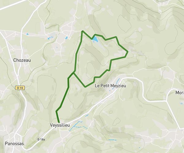
This hiking trail covers 1.762mi starting from Bénonces, Ain. The hike does not return to the trailhead and ends near D 32, 01470 Lompnas, France. This hike is rated as moderate, plan for about 56m43s to complete it. The route has an elevation gain of 696ft and an elevation loss of 213ft.
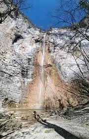
cascade de Luizet
Route details
1.86mph
Speed
446 kcal
Calories burned
9.8%
Avg grade
Point to point
Route type
1663ft
Min altitude
2172ft
Max altitude
Steep climb
Route profile
696ft
Elevation gain
213ft
Elevation loss
1663ft
Min altitude
2172ft
Max altitude
How to get there
Trailhead: D 87c, 01470 Bénonces, France
GPS coordinates of the trailhead: 45.81921, 5.48655 / 45°49'9'' N, 5°29'11'' E