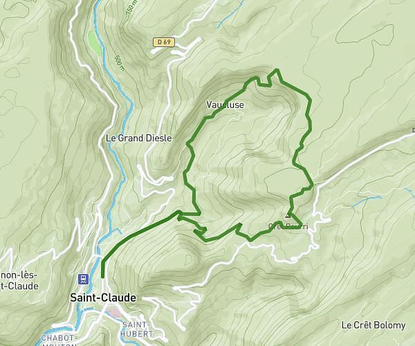
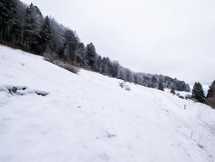
This hiking trail covers 2.551mi starting from Chézery-Forens, Ain. The hike is a loop trail and returns to the trailhead. This hike is rated as hard, plan for about 1h22m to complete it. The route has an elevation gain of 942ft and an elevation loss of 945ft.
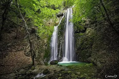
Cascade des Êtrés
Route details
1.86mph
Speed
642 kcal
Calories burned
14.0%
Avg grade
Loop trail
Route type
1982ft
Min altitude
2677ft
Max altitude
Steep climb
Route profile
942ft
Elevation gain
945ft
Elevation loss
1982ft
Min altitude
2677ft
Max altitude
How to get there
Trailhead: 1035 Route De Forens, 01410 Chézery-Forens, France
GPS coordinates of the trailhead: 46.21552, 5.85764 / 46°12'55'' N, 5°51'27'' E