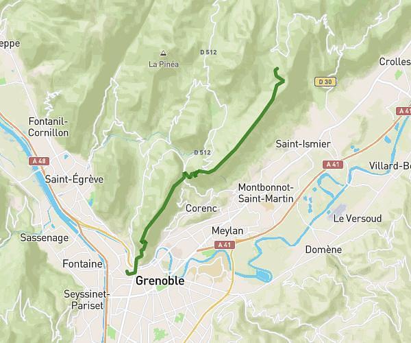
This hiking trail covers 0.455mi starting from Saint-Aupre, Isère. The hike does not return to the trailhead and ends near Chemin Du Bas Colombier, 38960 Saint-Aupre. This hike is rated as easy, plan for about 14m39s to complete it. The route has an elevation gain of 171ft and an elevation loss of 33ft.
Cascade du Briançon
Route details
1.86mph
Speed
115 kcal
Calories burned
8.5%
Avg grade
Point to point
Route type
1512ft
Min altitude
1680ft
Max altitude
Steep climb
Route profile
171ft
Elevation gain
33ft
Elevation loss
1512ft
Min altitude
1680ft
Max altitude
How to get there
Trailhead: Chemin De La Rossetière, 38960 Saint-Aupre
GPS coordinates of the trailhead: 45.39251, 5.65198 / 45°23'33'' N, 5°39'7'' E