This hiking trail covers 0.805mi starting from Balanod, Jura. The hike does not return to the trailhead and ends near 210 Rue Des Moulins, 39160 Montagna-le-Reconduit, France. This hike is rated as easy, plan for about 25m54s to complete it. The route has an elevation gain of 315ft and an elevation loss of 98ft.
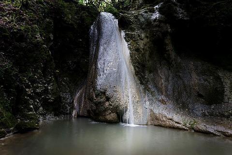
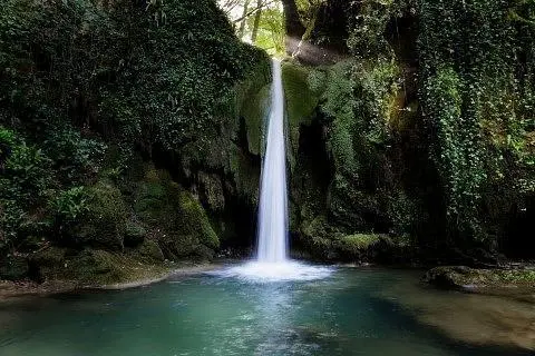
Cascade du grand gour
Route details
1.86mph
Speed
204 kcal
Calories burned
9.7%
Avg grade
Point to point
Route type
879ft
Min altitude
1099ft
Max altitude
Steep climb
Route profile
315ft
Elevation gain
98ft
Elevation loss
879ft
Min altitude
1099ft
Max altitude
How to get there
Trailhead: 1 Chemin De La Forge, 39160 Balanod, France
GPS coordinates of the trailhead: 46.45598, 5.36702 / 46°27'21'' N, 5°22'1'' E