This hiking trail covers 0.262mi starting from Torcieu, Ain. The hike is a loop trail and returns to the trailhead. This hike is rated as moderate, plan for about 8m26s to complete it. The route has an elevation gain of 56ft and an elevation loss of 305ft.
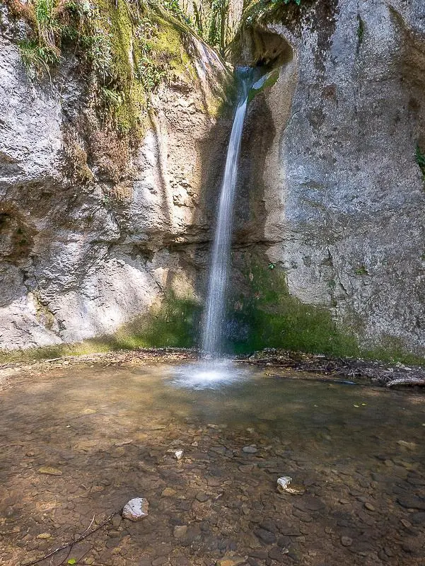
Cascade du Pissoir
Route details
1.86mph
Speed
63 kcal
Calories burned
26.1%
Avg grade
Loop trail
Route type
981ft
Min altitude
1266ft
Max altitude
Steep climb
Route profile
56ft
Elevation gain
305ft
Elevation loss
981ft
Min altitude
1266ft
Max altitude
How to get there
Trailhead: D 60, 01230 Torcieu, France
GPS coordinates of the trailhead: 45.9201, 5.41092 / 45°55'12'' N, 5°24'39'' E