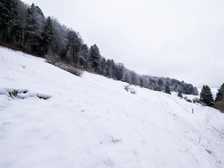
This hiking trail covers 4.197mi starting from Confort, Ain. The hike is a loop trail and returns to the trailhead. This hike is rated as hard, plan for about 2h15m to complete it. The route has an elevation gain of 1086ft and an elevation loss of 1086ft.
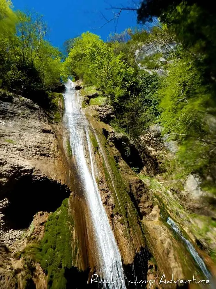
Cascades de Confort et Sandezanne
Route details
1.86mph
Speed
1023 kcal
Calories burned
9.8%
Avg grade
Loop trail
Route type
1276ft
Min altitude
1791ft
Max altitude
Steep climb
Route profile
1086ft
Elevation gain
1086ft
Elevation loss
1276ft
Min altitude
1791ft
Max altitude
How to get there
Trailhead: D 14a, 01200 Confort
GPS coordinates of the trailhead: 46.16566, 5.81225 / 46°9'56'' N, 5°48'44'' E