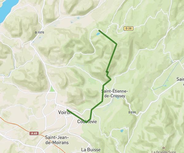
This hiking trail covers 2.5mi starting from La Bridoire, Savoie. The hike does not return to the trailhead and ends near Route De La Bridoire, 73610 Dullin. This hike is rated as moderate, plan for about 1h20m to complete it. The route has an elevation gain of 1047ft and an elevation loss of 505ft.
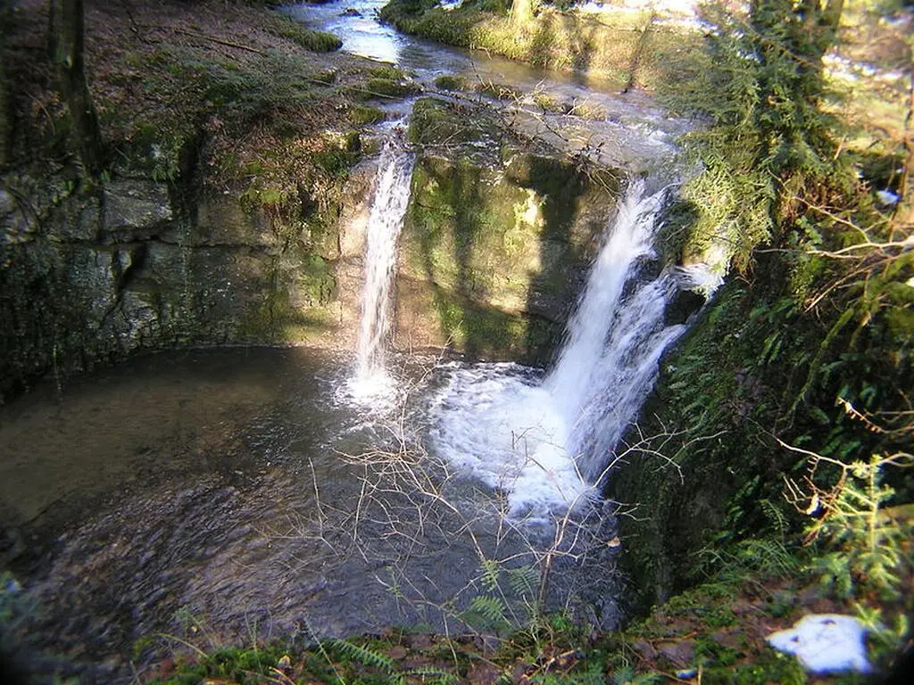
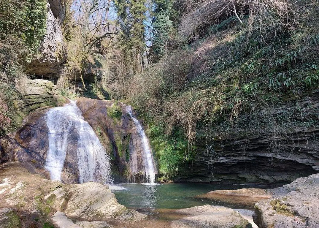
Cascades de la Bridoire
Route details
1.86mph
Speed
638 kcal
Calories burned
11.8%
Avg grade
Point to point
Route type
873ft
Min altitude
1467ft
Max altitude
Steep climb
Route profile
1047ft
Elevation gain
505ft
Elevation loss
873ft
Min altitude
1467ft
Max altitude
How to get there
Trailhead: Impasse Du Thiez, 73520 La Bridoire
GPS coordinates of the trailhead: 45.52608, 5.74132 / 45°31'33'' N, 5°44'28'' E