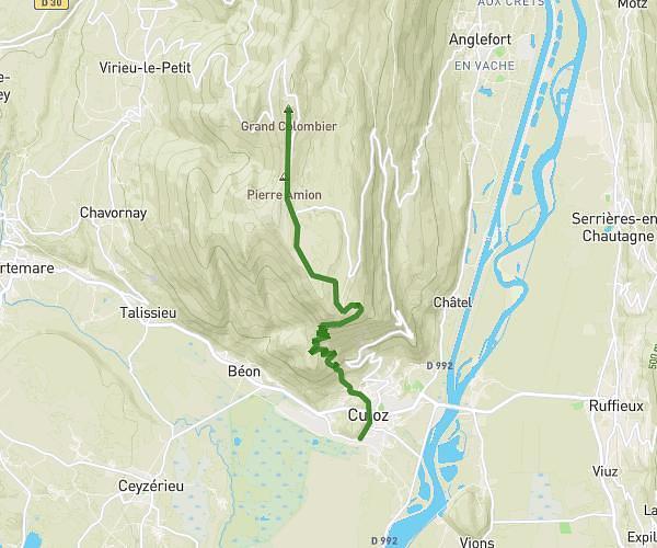
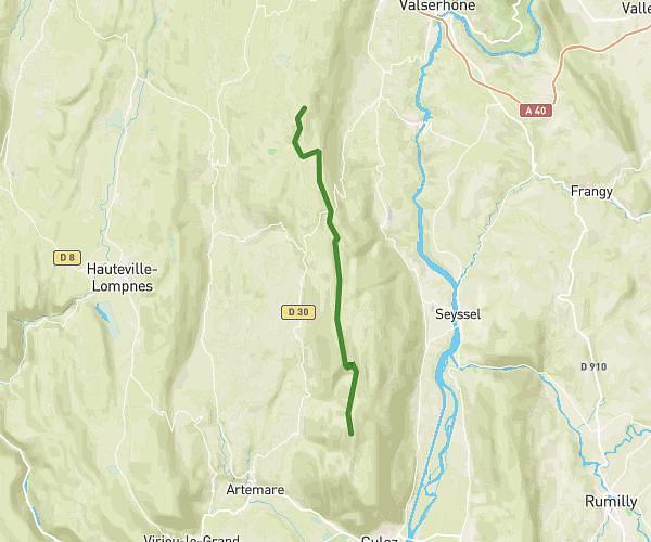
This hiking trail covers 3.864mi starting from Plateau d'Hauteville, Ain. The hike does not return to the trailhead and ends near Avenue Félix Mangini, 01110 Plateau d'Hauteville, France. This hike is rated as moderate, plan for about 2h4m to complete it. The route has an elevation gain of 965ft and an elevation loss of 253ft.
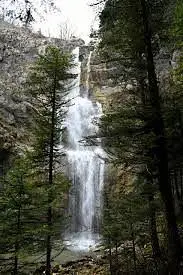
Cascades de la Melogne

Route details
1.86mph
Speed
939 kcal
Calories burned
6.0%
Avg grade
Point to point
Route type
2418ft
Min altitude
3130ft
Max altitude
Route profile
965ft
Elevation gain
253ft
Elevation loss
2418ft
Min altitude
3130ft
Max altitude
How to get there
Trailhead: D 21, 01110 Plateau d'Hauteville, France
GPS coordinates of the trailhead: 45.96769, 5.5768 / 45°58'3'' N, 5°34'36'' E