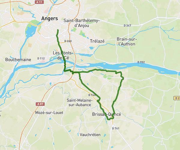
This hiking trail covers 5.883mi starting from Les Hauts-d'Anjou, Maine-et-Loire. The hike does not return to the trailhead and ends near 18 Rue Du Onze Novembre, 49125 Cheffes, France. This hike is rated as easy, plan for about 1h40m to complete it. The route has an elevation gain of 197ft and an elevation loss of 226ft.
Cheffes
Route details
3.53mph
Speed
707 kcal
Calories burned
1.4%
Avg grade
Point to point
Route type
49ft
Min altitude
164ft
Max altitude
Route profile
197ft
Elevation gain
226ft
Elevation loss
49ft
Min altitude
164ft
Max altitude
How to get there
Trailhead: 6 Rue Du Mail, 49330 Les Hauts-d'Anjou, France
GPS coordinates of the trailhead: 47.68022, -0.4864 / 47°40'48'' N, 0°29'11'' W